NSW SES Far West Command Western Zone has provided some clarification on the validity of the online mapping of flood extents that many people have been viewing. Click on the Facebook link below to read the full post. For those without Facebook, please see an excerpt below.
EXCERPT FROM NSW SES POST
 ATTENTION RESIDENTS DOWNSTREAM OF MILDURA
FLOOD INFORMATION UPDATE
INACCURATE ONLINE MURRAY MAPPING INVALID FOR NSW
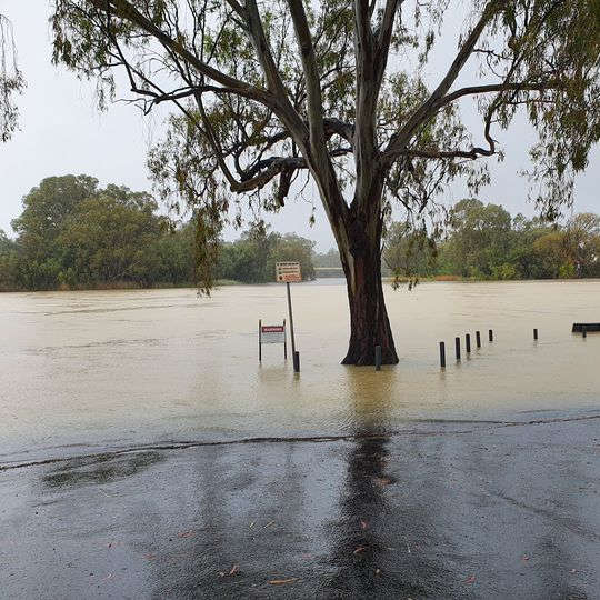
 Current mapping products for the Murray River from Victorian authorities are not portraying an accurate picture on Murray River flooding on the NSW side of the river.
These maps have been designed to highlight Victorian communities only and the impact of newly created levies in Wentworth, Dareton, Buronga and Gol Gol are not accurate.
Please do not use these online products to inform you of your flood-risk during this current event.
The Bureau of Meteorology provide daily updates on predicted flooding and the NSW SES will continue to publish daily bulletins about Murray River flooding and the consequences downstream of Mildura.
Please visit www.ses.nsw.gov.au to view these bulletins each day.


