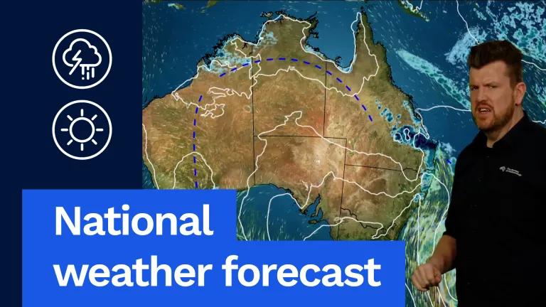
We’re also going to see a gusty southerly change move up the New South Wales coast. That’s going to bring cold and gusty winds and maybe some showers also through northern and north-eastern parts of New South Wales, particularly on the coast.
High pressure down here in Tasmania extending the ridge right across southern and central Australia. That’s bringing fine, dry and sunny weather to central and south-eastern Oz, while a trough and cold front in south-west WA will be there, developing a weather system there for Wednesday night into Thursday.
Let’s have a look at all of this in more detail.
Firstly, in Queensland, where storm season has once again kicked into gear, we can see showers and thunderstorms developing during the afternoon and evening. And these blue dots popping up here along the trough line that extends from Mount Isa all the way down into south-eastern Queensland. And the main focus will be the Wide Bay, Capricornia and Central Highlands and coalfields, where severe thunderstorms with large hail, damaging winds and heavy rainfall are all possible. While further away from that, behind the trough, we’re seeing dry, hot and sunny conditions with temperatures in the high 30s through western parts of Queensland and also for far northern Queensland as well, where our coastal areas, as you can see here, we’ll see temperatures in the high 20s to low 30s. While south-eastern Queensland will see that cooler southerly change moving in late in the day, and Brisbane will see showers, possible storm and 28 °C.
Moving down into New South Wales. And while the cool change will have moved through southern and central areas by morning, and it’ll still be moving up the mid-north and then north-eastern coastal areas during the afternoon and evening with a gusty southerly wind. And behind that we’ll see cloud and showers through many of our coastal areas. While west of the ranges, it will remain dry, warm and sunny with temperatures in the mid to high 20s out through those inland areas while looking at high teens to low 20s for our coastal areas. Sydney looking at a breezy day, 19 °C with a few showers clearing during the day.
Canberra, after a cold and frosty start, will see temperatures of 18 °C with lots of sunshine during the afternoon.
Moving down into Victoria and high pressure really dominating the weather down there. So we’ll see a dry and mostly sunny day. After a chilly start though, temperatures in the low single figures, maybe some isolated fog and frost patches around as well, but generally temperatures in the mid to high teens through southern areas and high teens to low 20s into northern areas. Melbourne looking at a 17 °C and partly cloudy day with lots of sunshine during the afternoon.
Moving down into Tasmania and similar conditions there with that high pressure, as you can see here, racing across the state during the day, that’s going to lead to a cold and frosty start through inland areas with maybe a patch of fog and frost. Cloudy conditions as well through southern and eastern areas and that’ll clear later in the day as well. Temperatures generally give or take around the mid teens, maybe into the low teens through northern areas. Hobart looking at a cloudy one and 16 °C.
Moving up into South Australia. We can see there in kind of the other side of the high. So they’re getting those warmer easterly and then northerly winds. That’s going to bring temperatures in the low to mid 20s through southern areas and the high 20s to low 30s in northern areas with lots of sunshine. Adelaide looking at a sunny 23 °C. Lovely day to get out and about.
Moving over into WA. And you can see this trough system through here. We’ll be bringing morning showers and thunderstorms through eastern Wheatbelt in the southern interior, but that’ll clear out during the day. And then we can see further showers and thunderstorms develop near that trough line later in the day around the south coast. East of the trough. Warm and partly cloudy conditions. High 20s, low 30s there. Well west of the trough. Fine, dry and partly cloudy conditions for much of the south-west land division with temperatures in the low 20s. And notice this cold front approaching the south-west capes at night, and will probably sweep across the south-west on Thursday. While further north, we’re going to see hot, dry and sunny conditions with temperatures into the mid to high 30s. Perth looking at a partly cloudy day and 23 °C.
Moving up into the Northern Territory, and it is dry and sunny in the south with temperatures in the high 20s to low 30s, mid 30s through central areas and the other side of the trough. It will be hot and humid, temperatures near 40 °C through inland areas. And of course, there’s some isolated showers and thunderstorms across the tropical north, particularly around the Kimberley and the western Top End. As we’ve seen, those moisture levels increase, and that’s only going to continue as we move deeper into October. Darwin looking at a 33 °C and partly cloudy day.
So there’s a bit of weather going on around the country tomorrow and in the coming days, you can always get the latest forecast and warnings for your area via our website and app.
And I’ll be back here tomorrow with your Thursday forecast.
Video current: 12:30 pm AEDT Tuesday 06/10/26.