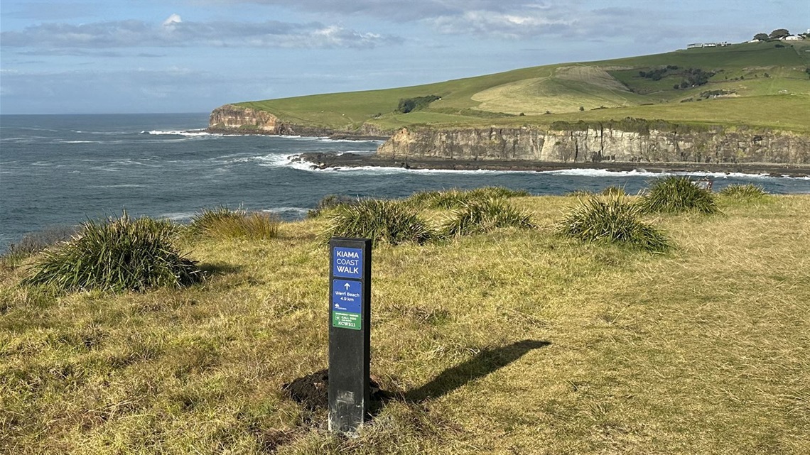
Kiama Council has completed the installation of new signage along the popular Kiama Coast Walk between Kiama and Gerringong.
Information signs have been installed at both ends of this section of the Kiama Coast Walk at Loves Bay and at Werri Lagoon, Gerringong.
The signs give an overview of the walk, including information on local wildlife, landscapes, history and culture, as well as practical information about the trail.
Twelve new route markers have also been installed along this stage of the walk, which give directions and emergency contact information.
Kiama Council has included an alphanumeric code on the track markers that means, in the case of an emergency, the authorities should be able to quickly pinpoint exactly where someone in distress is located.
The 6km Loves Bay to Gerringong (Werri Beach) section of the Kiama Coast Walk is graded medium-hard and takes around 2 hours to walk at average speed.
The section is the most untouched of the three sections of the Kiama Coast Walk, with exposed clifftops, rainforest remnants and spectacular ocean views.
There are a number of hills and climbs in this section of the walk.
As much of the walk is remote, it’s important for emergency services to be able to locate where on the trail someone is located if they require assistance.
The new signage was funded by the Department of Regional NSW under the Stronger Country Communities Fund Round 4 program to improve safety and emergency information.
The information signs were developed in conjunction with our Destination Kiama team and installation was managed by Kiama Council’s surveyor and outdoor staff.


