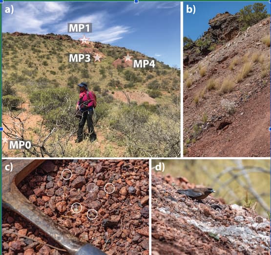
Port Vila, Vanuatu – The United Nations Satellite Centre (UNOSAT) joined hands with the Secretariat of the Pacific Regional Environment Programme (SPREP) to extend the delivery of technical training in geospatial information technology at the subnational level in Vanuatu. These trainings had been designed for the PWD engineers, specifically focusing on the use of GIT and road network digitization in Vanuatu. The first training for Shefa was conducted in May 2023, followed by the training in Torba and Sanma in August. Trainings in Tafea and Penama provinces were completed in September and October 2023, respectively.
Back in November 2022, Mr. Raviky Talae, Van-KIRAP Sector Coordinator for the Public Works Department (PWD) under the Ministry of Infrastructure and Public Utilities of Vanuatu, was a participant in the custom-tailored training delivered by UNOSAT for Vanuatu on the geospatial decision support for climate resilience. During the training, he realized the importance of geospatial information technology (GIT) in the work of PWD, as well as the exceptional value of the long-standing collaboration of Vanuatu with UNOSAT.
Mr. Talae is currently engaged in the project entitled, “Climate Information Services for Resilient Development Planning in Vanuatu” (in the local language: Vanuatu Klaemet Infomesen blong Redy, Adapt mo Protekt, Van-KIRAP), implemented by SPREP. Through the Van-KIRAP project, PWD purchased a light detection and ranging (LiDAR) drone for the department’s use. Based on the request from Van-KIRAP and PWD, UNOSAT designed and delivered a custom-tailored training on the use of LiDAR technology using free and open-source software in Vanuatu in May 2023.
With support from UNOSAT, PWD is now capable of processing and analysing LiDAR data collected by drones for road design and infrastructure projects. These LiDAR datasets are expected to support the analysis of coastal inundation, aiding in the construction of climate-resilient infrastructures along vulnerable road segments. Previously, PWD would have had to send raw LiDAR data to Australia for processing, taking three to six months due to shipping delays. Furthermore, purchasing commercial software licenses and hiring consultants for digitizing the road network would have incurred significant costs, making the use of QGIS a cost-effective and efficient solution.

After the training, the UNOSAT Team met with Mr. Talae and Mr. Sunny Seuseu, the SPREP Climate Information Services Officer. The UNOSAT Team received positive feedback from the project manager, which led to financial support from SPREP that will cover the costs of the training in various provinces.
I am grateful for the partnership we have with UNOSAT, it has allowed for enhanced collaboration with Van-KIRAP and SPREP. Importantly, the capacity building and the transfer of technical skills and knowledge to benefit sectoral audiences in Vanuatu is applauded. Mr. Sunny Seuseu, SPREP Climate Information Services Officer
Mr. Seuseu acknowledged the work done by UNOSAT and further commended the collaborations, indicating more opportunities in the future with SPREP, even after the Van-KIRAP project phases out. These exchanges and discussions were proof of how one thing leads to another – with one person gaining a deeper understanding of the value of the capacity-building initiatives of UNOSAT, cooperation and long-term partnerships with countries and their respective local agencies were made possible. Aside from strengthening the knowledge, skills and awareness related to disaster risk reduction, climate resilience, environmental preservation, food security, and evidence-based decision-making, this project has also demonstrated the value of working together through knowledge sharing.
This was a rewarding experience for both the UNOSAT project team and the VanKIRAP team of SPREP. It allowed the respective teams to join forces and enhance their support for the Vanuatu government’s climate resilience efforts. Both teams will actively seek opportunities to collaborate and expand their support in the region.
The above activities are supported by a project entitled, “Strengthening Capacities in the use of geospatial information for improved resilience in Asia-Pacific and Africa,” funded by the Norwegian Agency for Development Cooperation (NORAD).


