Wet and windy conditions are expected for parts of eastern New South Wales from Monday, particularly coastal areas in the south, as a deep low pressure system develops off the NSW coast.
The NSW SES is encouraging people to prepare this weekend for possible thunderstorms and periods of heavy rain that are predicted to develop early Monday and into next week.
By Monday and Tuesday a low pressure system may develop on the southern coast, bringing the potential for heavy rainfall that may lead to flash and riverine flooding, damaging wind gusts and damaging surf.
You can monitor the Bureau of Meteorology website for any severe weather warnings for heavy rain or riverine flood warnings here: https://bit.ly/2wuOXWt
Avoid unnecessary travel
For those who are enjoying the school holidays, plan your trip when you are out and about, as disruptions to public transport and water on roads may affect your activities.
Plan your trip and monitor road conditions at Live Traffic
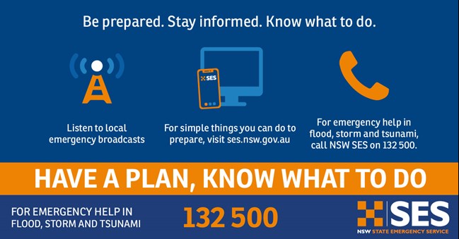
Now is the time to prepare your property for flood and storms.
You can help reduce damage by preparing your home before severe weather arrives by, clean gutters and downpipes, check your roof is in good repair, and secure or put away loose items.
Create your emergency plan, know your flood risk and plan now for what you will do. https://www.sesemergencyplan.com.au/
/who-and-sesam-event-in-lyon.tmb-768v.jpg?sfvrsn=6788f1a1_1)


