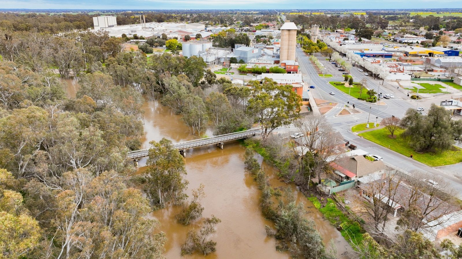
Greater Shepparton City Council advises that Raftery Road (between Seven Creek Drive and Arcadia Downs Drive) and some shared pathways in Shepparton and Mooroopna have been closed due to flooding.
Council is monitoring Watt Road, and any potential flood risks in collaboration with emergency services. Accurate and up to date information on flood warnings and road closures can be accessed via the Vic Emergency App.
Council reminds residents not to use closed shared pathways, or drive through floodwaters as they are unsafe to travel, and to not walk on Vic Roads as an alternative.
Greater Shepparton City Council Director Community Louise Mitchell reminds us we all have a role to play in keeping the community safe.
“The Vic Emergency App will provide up to date flood warnings within the region. Stay out of water that might be present on paths and roads,”
“Floods can occur quickly and unexpectedly due to heavy rainfall, so if you are driving, never drive through flood water as it only takes 15cm of flowing water to float a car,” Ms Mitchell said.
Current emergency information is available at emergency.vic.gov.au.


