AIMS scientists are quantifying the amount of groundwater flowing from the land to the Ningaloo Reef in Western Australia to help understand the viability of blue carbon storage solutions to reduce the impacts of climate change.
Groundwater is freshwater beneath the earth’s surface that fills cracks and spaces in soil and rock, like water in a sponge.
The scientists are investigating how the carbon and nutrients from the groundwater influence carbon storage through the seaweed growth and decay.
Seaweeds use photosynthesis to absorb carbon dioxide from the air and water around them to help grow their leaves and stems. Nutrients are essential for fuelling this seasonal growth.
When canopy-forming seaweeds lose their foliage each year, it can become buried in the ocean floor. The carbon it contains is safely locked away from the atmosphere for hundreds to thousands of years. This is known as carbon storage.
Research Scientist Dr Kay Davis said groundwater naturally flowed from the land to the sea, bringing freshwater, nutrients and carbon which helped algae, fish and corals to grow.
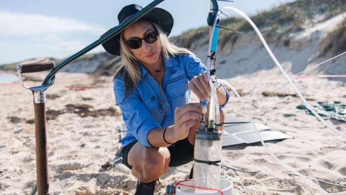
“We’ve been looking at the Ningaloo coast, from Tantabiddi to just past Coral Bay, to assess nutrient levels in groundwater from different parts of the coast and the likelihood that these nutrients are reaching the reef,” she said.
“For example, in the northern part of Ningaloo, the Cape Range has an unconfined aquifer system, and groundwater freely flows to the sea, whereas the south has very deep groundwater, so it’s harder for that exchange to take place.
“It’s been interesting to discover differences in the two systems and learn from the locals who are so passionate about this resource.
“This research is the first of its kind in Ningaloo, and we’re hoping the data will help decision makers protect the natural nutrient pathways that support Ningaloo Reef.”
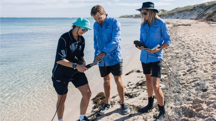
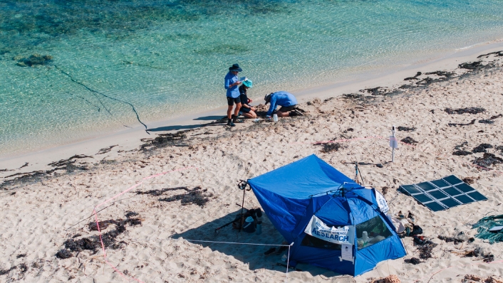
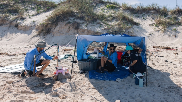
The small team included master’s student Frederike Kunz from Germany’s Leibniz Centre for Tropical Marine Research (ZMT).
They collected samples from 33 groundwater sources (bores, beach groundwater or open springs) in the area and collected 54 ocean surface samples for nutrient analysis.
They traced groundwater in reef surface waters using a natural component that’s present in soils, called radon.
This field data will be used in conjunction with a model produced by Ms Kunz to assess groundwater flow to the reef on larger scales of space and time.
“We’ll be using this data as part of the larger Blue Carbon Seascapes project to assess the capacity for ecosystems to support reef growth and biodiversity,” Dr Davis said.
“Our data will inform management of the natural nutrient pathways that support Ningaloo Reef and possibly contribute to blue carbon storage in marine soils.”
Dr Davis said the arrival of Cyclone Narelle mid-way through the field work provided some unexpected opportunities.
“We started in the northern region and luckily we were able to get out before Narrelle hit,” she said.
“The cyclone dropped a lot of rain in the area, and we were able to come back and resample bores we surveyed before the cyclone.
“This is a unique opportunity to better understand how the groundwater may have changed as a result of all the rain.”
The field work was done in consultation with Western Australia’s Department of Biodiversity, Conservation and Attractions.
The Blue Carbon Seascapes Project is jointly funded by AIMS and BHP.


