And let’s have a look at the national map, where we can see the horseshoe trough. This is what we like to refer to as the heat trough, which extends in this horseshoe sort of shape all the way through central and northern Australia.
Basically each day during the warm season and driving the showers and storms. And that’s certainly going to be the case tomorrow, with plenty of showers and storms right through a huge area of Western Australia, severe storms possible there, through the Northern Territory and down through Queensland and into New South Wales as well in that horseshoe shape, with a focus in the east on south-east Queensland and north-east New South Wales again tomorrow, with severe thunderstorms possible and even likely there.
For the south of the country, much more settled conditions under this ridge of high pressure. That’s for both Tasmania, Victoria and also South Australia.
Now let’s look around the grounds, starting with Queensland. We’re in northern Queensland to start with. It’s still very, very hot, with temperatures up in the high 30s and nudging 40 °C at times. So a Heatwave Warning still in place for Cape York and the Gulf Country in particular, and mostly dry conditions up there.
Then we see the trough act as the focus for these showers and storms, right down through central and western Queensland and into the south as well. Severe thunderstorms on the cards right across south-east Queensland, including for the Sunshine Coast, Brisbane and the Gold Coast, with tops of 31 °C and storms possible through the afternoon and the evening.
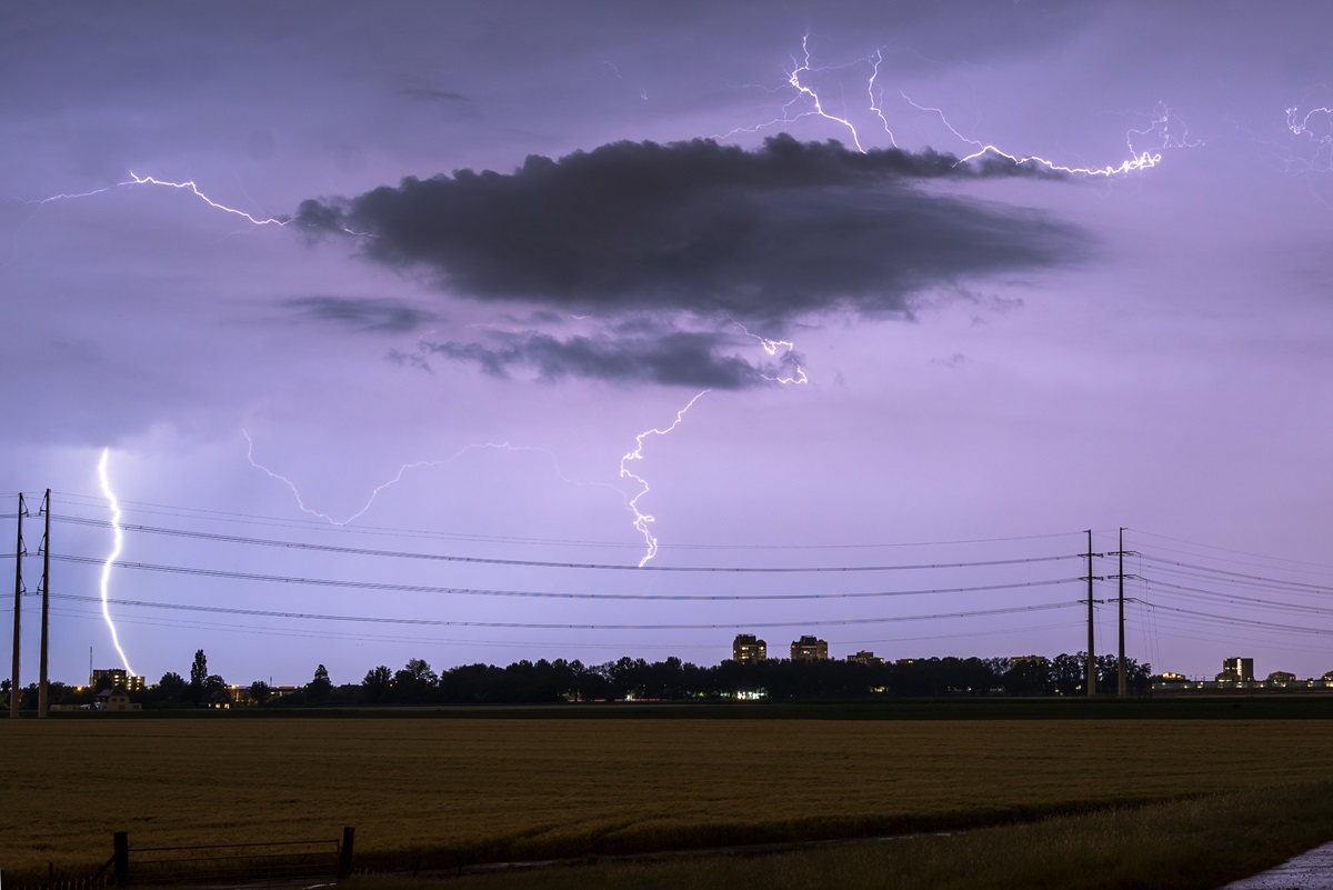
A classic spring day for south-east Queensland, so severe thunderstorms which could bring large hail, damaging winds and heavy rainfall. One or two storms may get that little bit stronger to produce giant hail of five centimetres plus, or destructive wind gusts of 125 km/h plus.
Moving down to New South Wales and the ACT. Similar story, with thunderstorms possible anywhere east of this trough line, basically including for Canberra with a top of 28 °C.
Sydney with a top of 27 °C. Around Sydney, severe thunderstorms are possible, bringing damaging winds and large hail to parts of the Blue Mountains and inland parts of the Illawarra district. Less likely for Sydney, but not entirely out of the question, and particularly further north. Severe thunderstorms are likely across large parts of the Northern Rivers, the New England Tablelands and on the plains out towards Moree as well.
Now it’s also pretty hot right across New South Wales, so you can see temperatures in the high 20s and low 30s along the coast and up into the high 30s and even nudging 40 °C, perhaps along parts of the Darling River in western New South Wales.
Now moving down to Victoria. Very different story, where that trough will have passed over most of the state by early in the day, taking a couple of patchy showers and maybe the odd thunderstorm with it.
We’ll see a few afternoon showers and storms about the Eastern Ranges, but otherwise a mostly dry day for Victoria. Much cooler southerly winds in place across southern Victoria. You can see Melbourne reaching a top of 19 °C, as well as Geelong, but the southerly winds don’t penetrate through the ranges as much, so temperatures still in the low 30s through the north-east and up through the Mallee as well on Wednesday.
Now moving down to Tasmania. There might be a couple of early drizzly showers around as this trough system moves offshore, but then it’ll be a mostly dry day with westerly winds. Hobart, partly cloudy and a top of 21 °C. Launceston going for a top of 24 °C.
In South Australia, a couple of early showers possible as well around the islands and the peninsulas, but a generally dry day for most South Australians on Wednesday. Adelaide, a top of 21 °C, so quite cool compared to recent days, and some showers and thunderstorms about the far north-western pastoral district as well.
In Western Australia, a bit of a mixed bag here. We see this heat low through the Gascoyne, which is going to be the focal point for showers and thunderstorms, but that weather will extend through parts of the Central West and the northern Wheatbelt, through the Goldfields and then right up through central and northern WA as well.
So there’s a huge area there that could see severe thunderstorms bringing 20 to 40 mm of rain or more to parts of the desert, as well as large hail and damaging winds being a risk through a large area of the state.
Less likely for Perth. Just a shower or two maybe, if anything, with a top of 29 °C. But what Perth will see is those gusty easterly winds coming down off the scarp between the low to the north and then the ridge of high pressure that’s away to the south as well.
So mostly dry for the most part through southern WA, although some of that weather may make it a little further south towards the end of the evening.
And through the Northern Territory, lastly, we’ll see showers and thunderstorms. Typical build-up weather pretty much right across the territory, particularly during the afternoon and evening. But the wetter conditions are for the Tanami and the Lasseter districts in the south-west of the territory.
Where there’ll be much more cloud cover and higher rainfall totals of 10 to 20 mm, with some spots getting more than that. Darwin, a shower or two and a possible storm, with a top of 36 °C, and Alice Springs going for 28 °C.
That’s all from us for now. Enjoy your day, and you can always find the latest forecasts and warnings on our website, on our app, and follow our social media channels for more. Thanks for watching. We’ll see you next time.
Video current: 1:00 pm AEDT Tuesday 10/11/26.