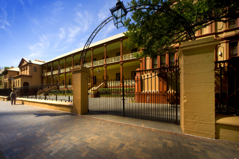
A new map will get City of Whittlesea residents exploring their own backyard, revealing scores of fascinating historical sites including a castle, a reservoir once the envy of Melbourne, and even troughs where thirsty horses stopped to water in the 1900s.
Council has launched the 50 Sites of Significance map, available in an interactive online version and in print in libraries and community centres.
Chair Administrator Lydia Wilson said the map uncovered a variety of hidden gems spread across the municipality, each with a fascinating story.
“You might think the City of Whittlesea’s buildings aren’t that old, given all the new housing developments, but we have built heritage dating back to the 1800s,” Ms Wilson said.
“The new map is a great tool for helping you to get out and explore your own backyard and learn about its built cultural heritage.”
Whittlesea Historical Society co-president Neil Johnson said the area was rich in post-colonial historic sites, including the Yan Yean Reservoir.
“I think a lot of people aren’t aware that in its day, when it was commissioned, it was the largest man-made water storage facility in the southern hemisphere, and Melbourne at the time was the envy of the world with its water system because our forefathers had good foresight,” Mr Johnson said.
“I think the map is a great initiative – it’s another way to showcase parts of our history, and it’s a fairly diverse history.”
Other map highlights include Bear’s Castle, a small, two-storey structure built in Yan Yean in 1846 for pastoralist John Bear using clay, straw, gravel and sand, and several Bills horse troughs, manufactured by George and Annis Bills to provide relief for working horses in the first half of the 20th century.
See the map at www.whittlesea.vic.gov.au/culturalheritage

