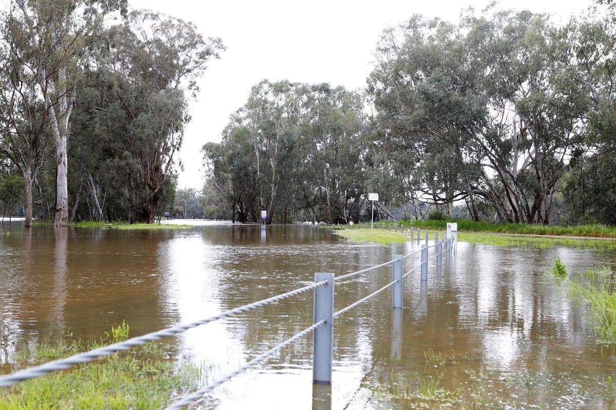
Council is encouraging road users to plan ahead and allow extra time for their travels across the Local Government Area, with a number of major and local roads closed due to the Murrumbidgee River flooding at Wagga Wagga.
The NSW State Emergency Service (SES) has reported the river reached a peak of 9.22 metres in the city on Wednesday evening, 12 October.
Director Infrastructure Services Warren Faulkner said Council is implementing actions based on the advice of the NSW SES, as the lead agency for flooding, as well as Bureau of Meteorology forecasts to help ensure the safety of the community and manage the impacts of flooding on infrastructure.
“The rate that the river is rising, as well as the weather, trigger specific responses from our crews,” Mr Faulkner said.
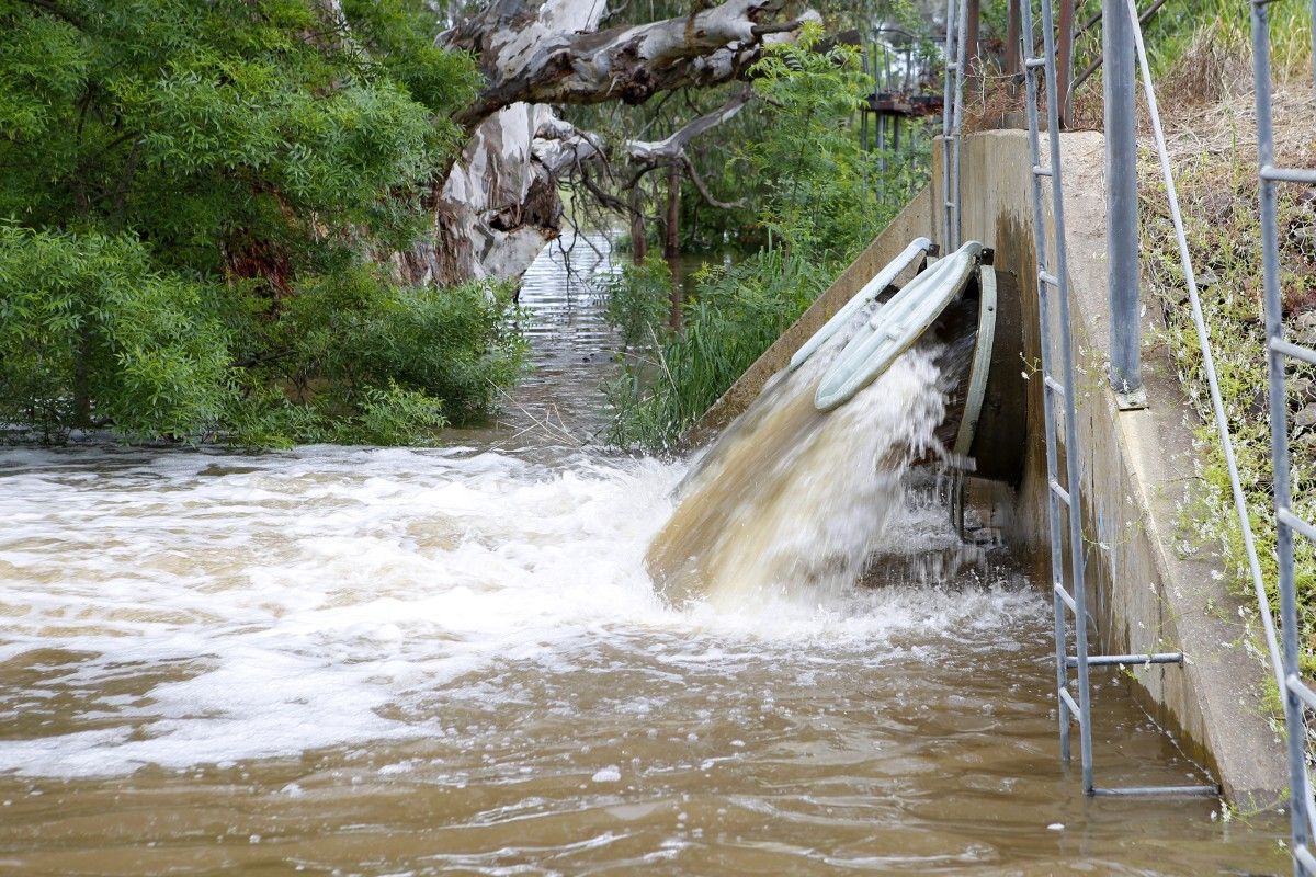
“We’re constantly monitoring water gauges in the river and tributaries upstream as well as the BOM radar and forecasts to understand what and when the likely impacts for our road network will be.
“While we try to keep the roads open for as long as possible, we close them when the water depth and rate of flow across the road surface presents too many risks for safe travel through it.
“The safety of road users and the general community is our priority, so it’s really important that motorists and pedestrians also play their part by obeying the signs, slowing down, and not entering flood waters.”
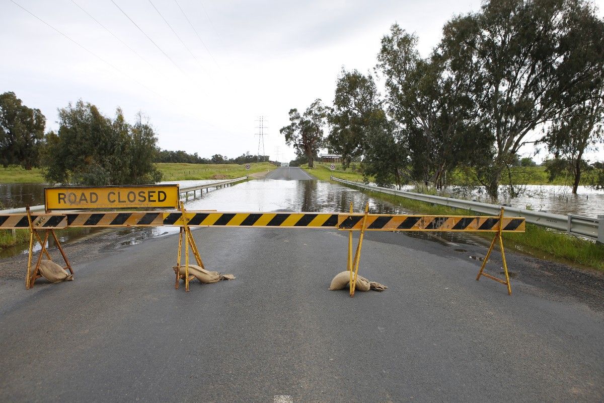
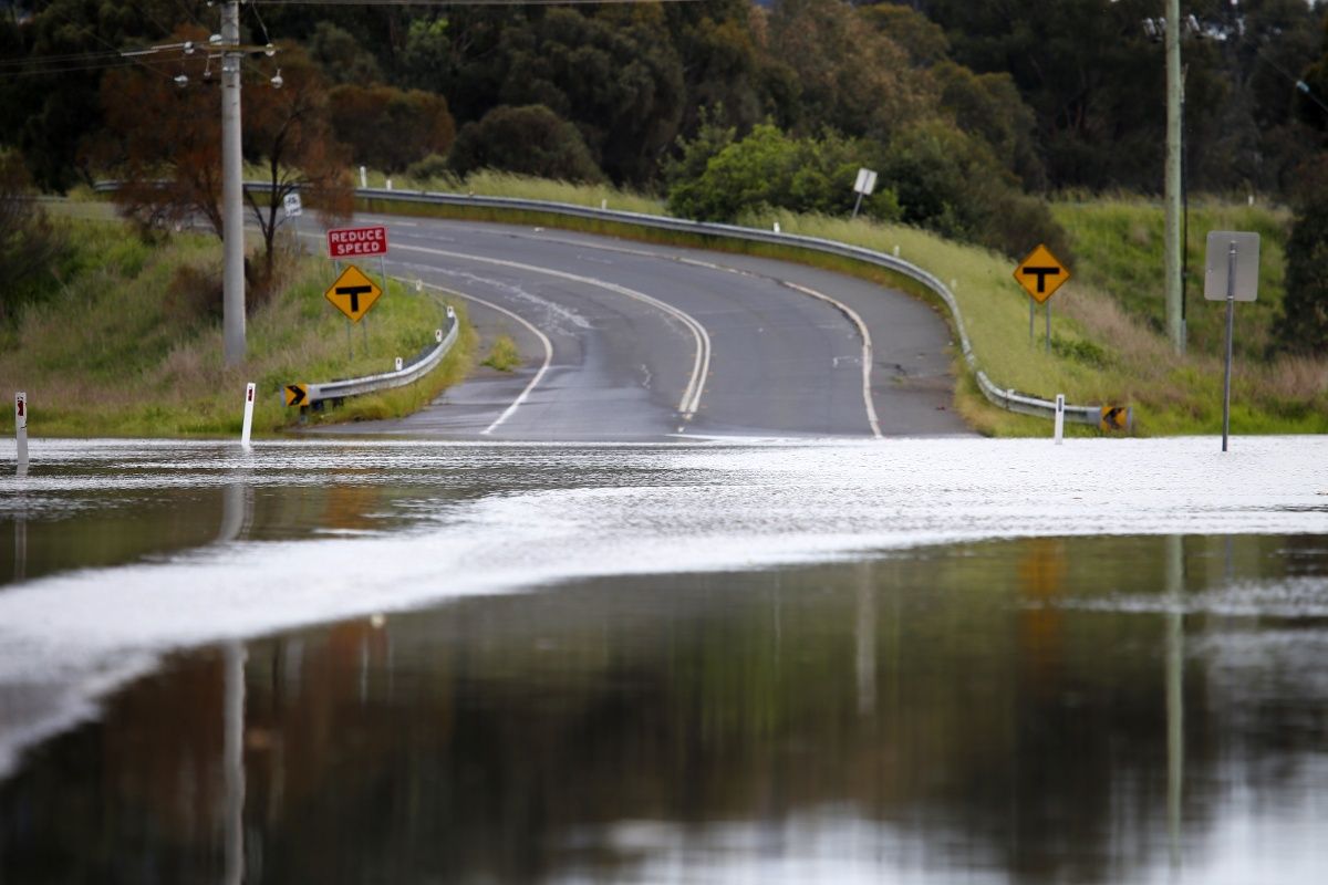
The Eunony Bridge Road was closed on Tuesday night after flood water crossed the road at several points between the bridge and the Sturt Highway, while the section of Boorooma Street between the Olympic Highway and Gardiner Street was closed on Wednesday morning.
Both these roads will remain closed until the water has receded, the pavements dry out and the roads are cleared of debris.
“We’re encouraging motorists and cyclists who ordinarily use Eunony Bridge to plan ahead and allow themselves extra time to travel,” Mr Faulkner said.
“Obviously the impact of these closure will likely be a sharp rise in the traffic flow on other parts of the city’s road network, particularly the Gobba Bridge and the Wiradjuri Bridge, so we’re asking all road users to be patient and drive to the conditions.”
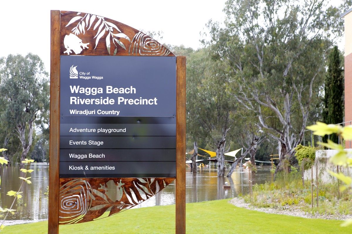
Residents and visitors to our city are reminded that many of our open space areas adjacent to the river, including the Riverside precinct, are currently inundated and closed to the public.
Strategic Asset Planner (Parks and Recreation) Ben Creighton said Council is asking people to stay away from these areas.
“While the water may not appear dangerous it can still be moving quite quickly and is not safe for people to be walking through,” Mr Creighton said.
“Riverside precinct, which has been designed to withstand inundation, will remain closed until the flood water has receded and the area has been thoroughly cleaned.”
To stay up-to-date about local road closures, visit wagga.nsw.gov.au/flooding
For more emergency information, advice and warnings:
NSW SES: www.ses.nsw.gov.au


