When the 2019 bushfires destroyed the last old wooden grave markers in the Aboriginal section of Tabulam cemetery, local people were at a loss: how do you honour your ancestors when you don’t know where they lie?
Enter UNE’s Archaeology department, and a range of remote-sensing technologies that can identify things in the ground without the need to dig. Watch video
Tabulam is a small community in north-eastern NSW, between Kyogle and Tenterfield. The region is home to the Bundjalung people. From about the 1890s, as they were dispossessed of their lands, many Bundjalung were buried in the cemetery that still serves Tabulam, in a separate area from white burials and with simple wooden grave markers.
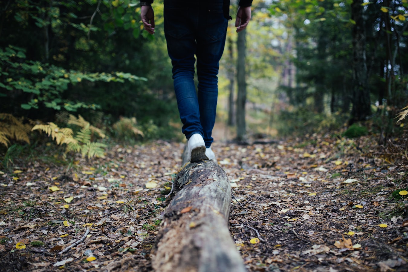
The usual processes of decay had taken their toll on the markers, but enough were left to provide a geography of the site for those seeking to honour their dead. Then a branch of the massive 2019 bushfires swept through the cemetery, and all but a handful of wooden markers were turned to ash.
At a loss over how to deal with the situation, Kyogle Council and the local Aboriginal people turned to UNE Archaeology for help.
Led by Professor Martin Gibbs, a team of staff and students have just completed a survey of the cemetery using ground-penetrating radar, a resistance meter, and a drone.
The survey has identified more than 30 unmarked graves on what to the naked eye was a featureless piece of open woodland. Prof . Gibbs is providing the local Aboriginal people and Kyogle Council with a map of the findings.
The map enables Council to better plan for future management of the cemetery, Prof. Gibbs observes, and gives the local Aboriginal people a fresh starting point from which they can “start planning how to memorialise their ancestors”.
UNE Archaeology has undertaken similar projects in northern NSW and Queensland, and is happy to discuss other potential projects with land managers needing a better idea of what lies beneath.
More about UNE’s Department of Archaeology, Classics and History


