Issued: Thursday, 30 November
The Bureau of Meteorology has added new features to the Murray–Darling Basin Water Information Portal, a website designed as a central source of water information for the Basin. This is the last of 5 main staged releases, completing the 3-year development of the portal.
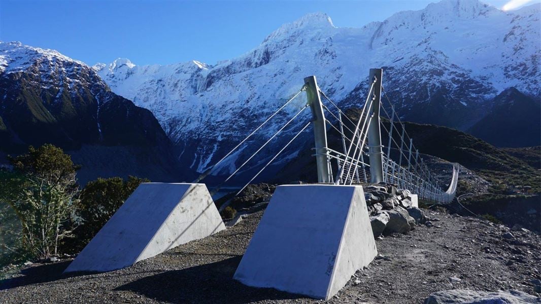
The new features include additional river diagrams, First Nations Cultural information, photographs of rivers, storage infrastructure and significant locations, and information on:
groundwater quality and groundwater use, which adds to the existing groundwater level information, showing how much groundwater is being used and for what purposes
dissolved oxygen available for fish and other aquatic organisms at nearly 30 sites.
Bureau of Meteorology General Manager of Agriculture and Water, Matthew Coulton, said the portal provides greater transparency and better access to Basin-wide information in the one website, so users no longer need to go to many different websites to find what they need.
‘The portal is important for helping people to understand water resources in the Basin by having shared access to information,’ Mr Coulton said.
The portal is designed to meet the needs of Basin communities, including local councils, tourism, agricultural and other local businesses, recreational water users, educators and First Nations people.
The Bureau used a community-centred approach to designing the portal, developing the features and functionality in consultation with users to ensure it meets community needs. New features and functionality were added progressively in response to user feedback.
Optimised for mobile, tablet and desktop, the portal is easy to navigate and features interactive river diagrams that show detailed information on river flow and water availability.
‘The portal brings together current and historical information, searchable by town, storage, river, catchment or current location, so you can compare current state with previous years,’ Mr Coulton said.
The portal includes customisable information about water availability, water in storages, water for the environment, groundwater, streamflow, allocation volumes, water take, water markets, water quality, and First Nations Cultural information for the Basin.
The Bureau developed the portal in partnership with the Murray–Darling Basin Authority, the Department of Climate Change, Energy, the Environment and Water, and Basin state governments.
To stay up to date with the latest forecast and warnings, communities should check the Bureau’s website or the BOM Weather app, and for what to do before, during and after severe weather, follow all advice from local emergency services.


