Background
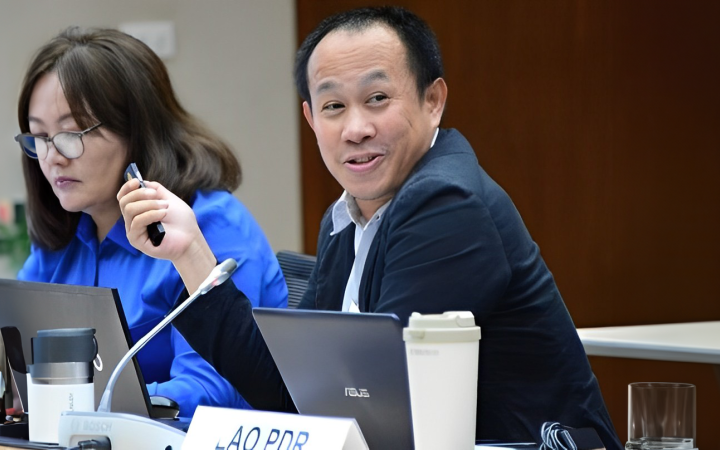
During the Twenty-seventh session of the Intergovernmental Consultative Committee (ICC-27) on the Regional Space Applications Programme for Sustainable Development (25-27 July, 2023) which was hosted by the United Nations Economic and Social Commission for Asia and the Pacific (UNESCAP).UNITAR-UNOSAT had the opportunity to encounter Dr. Virasith Phomsouvanh. In 2019, Dr. Virasith participated in the course “ASEAN Regional Training Course on Geospatial Big Data Applications for Sustainable Development”, organised by the United Nations Satellite Centre (UNOSAT) and UNESCAP in Sri Racha, Chon Buri, Thailand. The course was organised in partnership with Geo-Informatics and Space Technology Development Agency (GISTDA) under the Ministry of Higher Education, Science, Research, and Innovation of Thailand (MHESI) and the ASEAN Research and Training Center for Space Technology and Applications (ARTSA).
More recently, Dr. Virasith also joined one of the UNITAR-UNOSAT training events organised in Lao PDR under the project entitled, “Strengthening Capacities in the Use of Geospatial Information for Improved resilience in Asia-Pacific and Africa”, funded by the Norwegian Agency for Development Cooperation (NORAD). This training focused on the use of geospatial information for disaster risk management and was hosted in collaboration with the Disaster Prevention Division, Social Welfare Department, Ministry of Labour and Social Welfare.
Alumni Story
Dr. Virasith Phomsouvanh holds a doctorate degree (PhD) in Geography from the Department of Geography, of the College of Social Sciences, of the Seoul National University, in South Korea. In his current position, he serves as Deputy Director of Remote Sensing and Mapping, at the Natural Resources and Environmental Statistic and Research Institute (NRESRI), of the Ministry of Natural Resources and Environment (MONRE) of Lao PDR. He is also a member of the GIS committee of the National Geographic Department under the Prime Minister’s Office.
During ICC-27, Dr. Virasith was very enthusiastic to share how both trainings encouraged him to take on new challenges and learn new skills. Moreover, he proudly shared with the team that the trainings also enabled him to equip his staff with new skills and techniques in remote sensing applications. His desire to learn more did not stop with this training. The project “Strengthening Capacities in the Use of Geospatial Information for Improved resilience in Asia-Pacific and Africa” will organise advanced training sessions in Lao PDR to build upon the introductory session Virasith already participated in. He is very eager to attend the upcoming advanced training.


