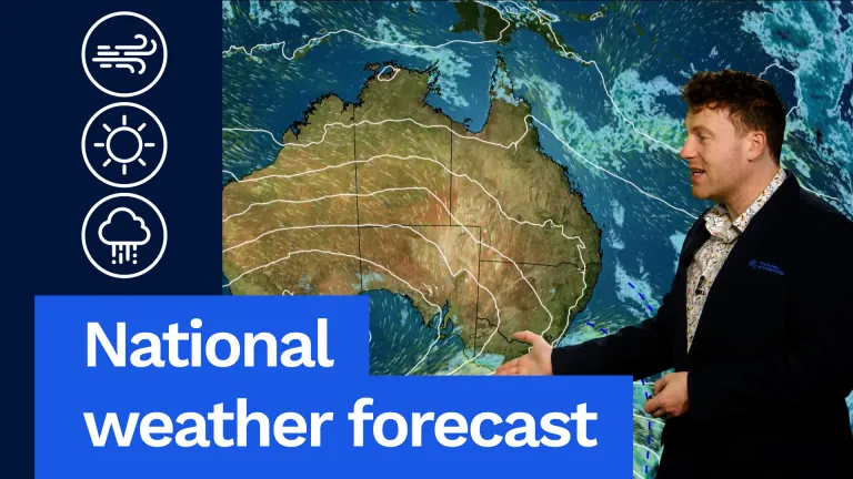
Issued: 1:30pm AEDT Wednesday, 29 November 2023
Persistent, heavy rain continues for parts of southern eastern Australia, including New South Wales, the ACT, Victoria and Queensland.
The rain is being driven onshore by a deep low pressure system which is sitting over New South Wales. This is coupled by a corresponding low in the upper atmosphere which is amplifying the rainfall totals.
Here is a summary of the weather across the affected states and territory:
New South Wales and Australian Capital Territory
The heaviest rainfall totals observed have been across the Illawarra and South Coast forecast districts overnight, primarily between Nowra and Bega.
Since 9am AEDT Tuesday (until 9am AEDT Wednesday), the heaviest rainfall totals recorded include:
- 231 mm at Sassafras
- 227 mm at Point Perpendicular
- 225 mm at Mourya
- 225 mm at Jervis Bay Airfield
- 216 mm at Vincentia
- 206 mm at Fishermans Repeater
- 45 mm at Canberra Airport, ACT
- Widespread totals elsewhere between 100-200 mm.
A Severe Weather Warning is current for heavy rain and damaging winds for parts of southern inland New South Wales and the South Coast.
Heavy rainfall is expected to persist today as a low pressure system develops close to the south coast, with a high probability of producing flash flooding in the area.
Destructive winds and intense rainfall are a risk as the low develops near the coast and warnings will be closely monitored.
The storm focus will shift this afternoon to the eastern half of the state, including Sydney, Newcastle and Wollongong.
High-end supercell thunderstorms are a possibility this afternoon and evening through the east, particularly over the northeast, with a risk of localised destructive winds and giant hail.
A Minor Flood Warning has been issued for the Queanbeyan, Moruya and Deua Rivers.
A Minor Flood Warning is current for the Paroo River.
A Flood Watch is current for some river systems in the eastern half of the state.
Minor Flooding may occur through the Bega River and may reach moderate.
Hazardous Surf Warnings and Gale Warnings are current for Southern Coastal district.
Sheep Grazier Warnings are also current for locations in New South Wales and the ACT.
Victoria
Today, widespread rain and showers will continue over much of Victoria.
Heavy rainfall is likely through parts of the south including Gippsland and the Otways, with the risk of both flash flooding and riverine flooding.
Thunderstorm activity will continue in the north, with possible heavy rainfall.
Fresh to strong southeasterly winds will continue through southern Victoria which, combined with heavy rainfall, may increase the risk of trees falling and powerline damage.
Some of the heaviest 24-hour rainfall totals to 9am AEDT today include:
- 2 mm at Ultima
- 4 mm at Swam Hill AWS
- 8 mm at Reeves Knob
- 2 mm at Balook
- 4 mm at Walpeup Research AWS
Showers and rain will remain widespread over the southeast on Thursday as the low moves into the Tasman, with more isolated shower activity elsewhere.
Severe Weather Warnings are current for heavy rainfall and damaging winds over parts of Gippsland and over the Otways.
Flood Watches are current for Gippsland and parts of northeast and southwest Victoria.
Costal Wind warnings and Sheep Grazier warnings are current for many locations.
Queensland
Severe thunderstorms with locally heavy rainfall, damaging winds and large hail are likely in southern and southeast Queensland today, and possible around Brisbane and the Gold and Sunshine Coasts.
There is also potential for isolated very dangerous isolated thunderstorms with locally giant hail and destructive winds during this afternoon and early evening.
Some of the heaviest 24-hour rainfall totals to 9am AEST today include:
- 77 mm at Samuel Hill
- 77 mm at Luscombe
- 74 mm at Molendinar
- 70 mm at Clagiraba Road
- 2 mm at Wongawallen
A Minor Flood Warning is current for the Barcoo River.
A Minor Flood Warning is current for the Paroo River.
A Moderate Flood Warning is current for Wallam Creek.
A Major Flood Warning is current for Moonie River.
Severe thunderstorms will remain possible across central, southern and southeast Queensland into and across the weekend.
Why’s it raining during an El Niño event?
During an El Niño event, we tend to see a reduction in cloud coverage and rainfall over eastern parts of the country during winter and spring. However, significant rainfall is still possible, especially those of short duration.
El Niño increases the probability for drier conditions, but it is not a guarantee. We can still have both dry and wet periods.
Weather events can still occur during the warmer months, especially in northern New South Wales, southern Queensland, inland Western Australia and across the tropical north.
Approximately half of the past El Niño events have included widespread heavy rain events in eastern areas of the country.
Therefore, it’s not unusual to have rain events during an El Niño as the correlation between ENSO and rainfall is considerably weaker near the coast than inland, particularly in northern New South Wales and southern Queensland.
A notable feature of the current El Niño in the Pacific is that the characteristic region of cooler than average water in the western Pacific is very small – this year, sea surface temperatures (SSTs) in the western Pacific are generally warmer than usual.
Additionally, during the summer months, the typical El Niño rainfall signal contracts to the north-east of the country, with northern parts of Queensland extending into the Northern Territory experiencing below average rainfall for the summer months.


