Weather forecasts help Australian’s make informed decisions every day. From farmers and emergency services, to commuters and holiday makers, millions rely on them. But how are the forecasts made?
Meteorologists take complex weather information from many different sources and turn it into easy-to-understand forecasts that help people plan, prepare for and respond to the weather.
What information goes into a forecast?
The information and tools meteorologists draw upon to build a forecast include:
- weather observations
- weather models
- meteorological knowledge and experience.
Observations
Every good forecast starts with a really good understanding of exactly what the weather is doing right now. By observing different elements that make up the weather we paint a picture of how it has been recently, and how it is right now.
Observations are readings of weather elements that we take. These include:
- quantities like air pressure, temperature and rainfall at the Earth’s surface
- measurements in the upper atmosphere from weather balloons and aircraft
- data from weather radars and satellites.
Weather models
Weather models, also called numerical weather prediction models, are the main tools we use to forecast the weather. They take all the mathematical equations that explain the physics of the atmosphere and simultaneously calculate them at billions of points within the atmosphere around the Earth.
Models require enormous computing power to complete their calculations in a reasonable amount of time. This means they use some of the most powerful supercomputers in the world.
The models take the past and current weather observations of the atmosphere and ocean as the starting point. They plug them into the mathematical equations that calculate the weather into the future.
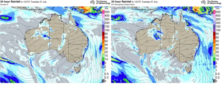
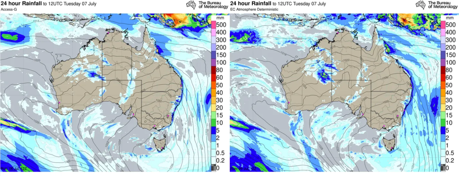
At the bureau we have our own global numerical prediction model, the Australian Climate Community Earth Systems Simulator, or ACCESS for short. Meteorologists receive updated forecast data from ACCESS 4 times per day and use software to view it as maps. They also compare information from several other weather models from scientific organisations around the world to assess how consistently the forecast conditions are shown across the models.
Science and experience
Data and models are a powerful force, but human insights are still a key ingredient in forecasting. Meteorologists draw on their knowledge of how the atmosphere works, gained through on-the-job experience, training and several years of university study, to produce a forecast.
During major weather events, a meteorologist’s experience can be very useful in helping to understand the expected evolution of the weather, based on their knowledge of similar events in the past.
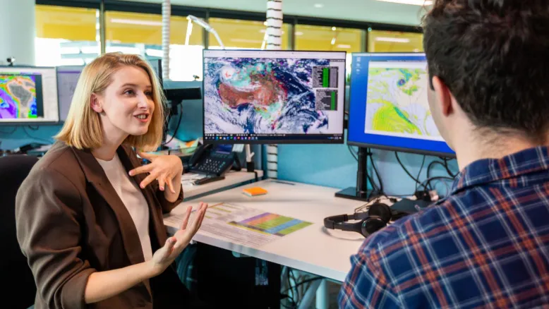
Meteorologists overlay their knowledge and experience onto weather model information and observations to produce the forecast
Know your forecast
The bureau issues official 7-day weather forecasts for towns and cities across Australia. Most forecasts are updated 4 times per day. They may be updated at any time if new information comes to hand that requires a significant change.
We’re often asked why we only forecast out to 7 days. That’s about the maximum length of time we can rely on the accuracy of weather models. As good as today’s weather models are – and they’re improving all the time – they’re not perfect.
Weather models solve mathematical equations and use algorithms that incorporate approximations and assumptions for a set number of locations at set times. At this stage it’s impossible to exactly simulate the evolution of weather around the Earth. To do that we would need to simulate an infinite number of locations at an infinite number of times.
These limitations mean any calculations that aren’t perfect in the early stages of the forecast have an increasing impact as the model calculates further into the future. That’s why weather forecasts for the next 2 to 3 days are generally more accurate than forecasts towards the end of the 7-day period.
When you look up the forecast it’s important to remember that weather doesn’t occur evenly across an area. Some weather features, like showers and thunderstorms, can be very localised. This means one part of a town or city might be experiencing a downpour while nearby areas remain dry. So the next time your forecast is for showers but you see mostly blue sky, give your friend on the other side of town a call. They might be experiencing very different weather.