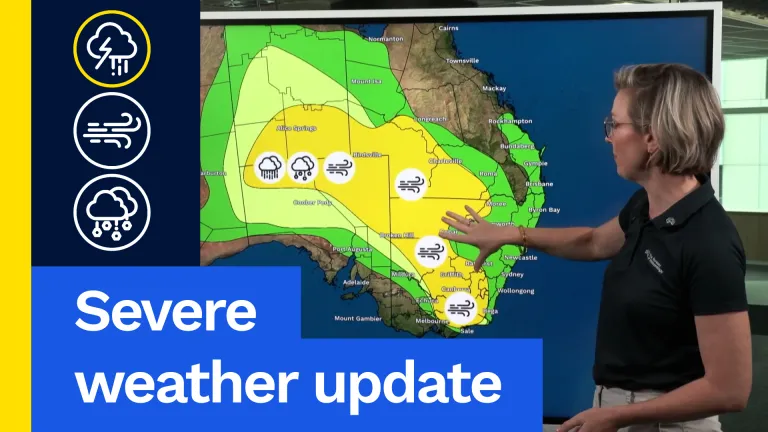
Over the last 24 hours, a powerful cold front crossed southern WA to collide with this band of tropical moisture to bring wet and windy weather to large parts of the south with gusty storms, small hail and damaging winds.
For the rest of today, the front brings widespread rain and gusty winds across southern and eastern South Australia, western New South Wales, Victoria and northern Tasmania. With 20 to 40 mm possible across much of the south-east and 40 to 70 mm for the north-east Victorian ranges, which will be very welcomed for citrus growers still trying to recover from the dry and windy spring in 2025.
The rain band will move east on Monday with patchy rains and the chance of a storm across north-east New South Wales and south-east Queensland, and riverine flooding possible across central and eastern Victoria. While out west, another gusty front will bring a further 10 to 20 mm for much of the south-west.
On Tuesday, dry westerlies across Queensland and northern New South Wales, will be good news for the macadamia harvest, which has seen delays for raking and lifting nuts in sodden paddocks. More wet and windy weather for South Australia as the front moves east.
On Wednesday, showers, gusty winds and cooler conditions will move into the south-east ahead of a strong high that will park itself over southern Australia and linger for the remainder of the week.
The high will dominate on Thursday with chilly starts and frosts through the southern interior. Westerly winds bring a few showers to Tasmania and far southern Victoria.
Little change on Friday, with inland frosts and showers in the far south-east as the high starts to move south-east ahead of next weekend.
That’s it for the weekly wrap. Have a good week and we’ll see you next time.
Video current: 2:00 pm AEST Sunday 09/08/26.