
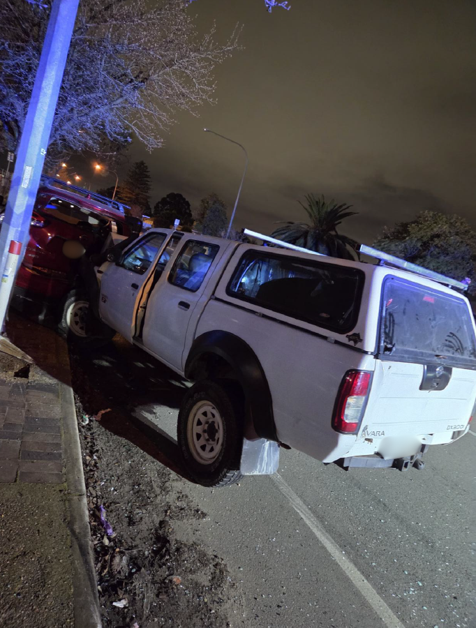
Council has been working with and supporting highly impacted residents following the June 2021 storm which destroyed several homes in the Yarra Ranges. This support includes providing free dedicated planning advice and counselling.
All land has some form of planning controls and the steep slopes that some properties are on in the Dandenongs means that there is a risk of landslip – which is why an Erosion Management Overlay (EMO) covers part of this location – and many others in Victoria.
Overlays are part of the Victorian Planning Scheme which is applied by Yarra Ranges Council. This Overlay was introduced in 2000 following a number of landslides that caused deaths elsewhere in Australia.
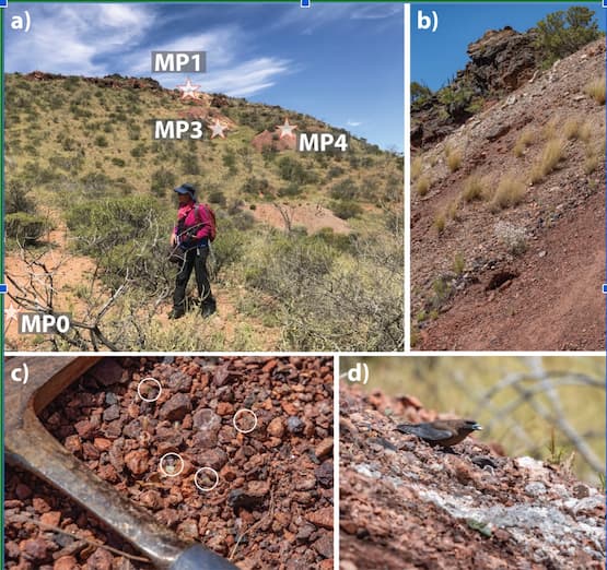
The steep slopes, combined with the extensive loss of the trees in the storm which had previously helped bind the soil, has exposed the soil structure, further increasing the risk of landslip.
In order to assess the level of risk that a piece of land has, a Geotechnical Assessment needs to be undertaken by a specialist company. That assessment provides a level of risk that applies to the land and potential property. This is an early step in the planning application process for properties that are covered by an EMO.
Recently a property that was destroyed in the June storm had a geotechnical assessment completed which identified a ‘moderate risk’ level.
If a geotechnical assessment reports a ‘moderate’ or higher risk of property loss, that cannot be mitigated, a planning permit cannot be approved by Council as it does not comply with the current Yarra Ranges Planning Scheme.
Yarra Ranges Mayor Cr Jim Child said, “We feel very deeply for the resident concerned in this matter to have gone through a disaster like the storm and then to face these complex planning challenges is upsetting.
“Due to the complexities of these properties, DELWP have funded some residents, including the impacted resident, with a planning consultant to help them navigate the process. In this instance the consultant has been working with the resident since the start of the year.
“Council is yet to receive a planning application from the resident and the planning consultant and the resident’s technical team are examining if there is any way to mitigate the landslip risk and bring the classification down to low to see if the resident wants to continue with the planning permit process.
“We have been discussing the issue of complex planning matters with the Department of Environment, Land Water and Planning (DELWP) and Bushfire Recovery Victoria (BRV) since the storm and have raised this specific issue.
“Back in November 2021 we provided the State Government with our business cases for our storm recovery. This included requested funds to undertake geotech assessments for all properties lost in the storm covered with an EMO however this has not yet been agreed to.
“We have raised this again and hope to work collaboratively with DEWLP and BRV to help our residents faced with this difficult situation. Together we are exploring a number of options that may help residents facing this situation some of which are established responses
“We are also reviewing work undertaken by other Councils in relation to landslips and exploring the possibility of a Planning Scheme Amendment to review and update the existing EMO. Any amendment would need to be based on a review undertaken by a geotechnical expert and these processes take time.
“Council is aware of a small number of other properties that are storm effected and may be facing a moderate risk of landslip but this is not clarified until individual sites undertake their geotechnical studies to submit with a planning permit. Council officers have already contacted these people.
“Planning controls change over time, and often after a disaster it is when people discover that new or unknown controls apply to their property. For example, following Black Saturday Bushfire Management Overlays came into place and changes were made to the types of material and construction required to make properties safe and comply with the new standards.
“But what often seems to happen is that people don’t know about these complex planning matters until they are faced with needing to rebuild.
“The recent news about a resident who is facing struggles to rebuild on their land would be disconcerting to many of our residents. But not just our residents. These are serious conversations that more and more communities are being confronted with in the face of heightened extreme weather events and Council is committed to continuing to raise awareness of these risks and work with our community on these matters.
“The Dandenongs is a beautiful place to live however it does come with some risks. Landslip and bushfire are known to be issues in this location.
“Understanding what planning controls apply to your home is important and residents can find out what overlays apply by contacting our planning officers or searching the www.planning.vic.gov.au and entering your suburb. Even if you do have an Erosion Management Overlay applied to your land, it does not mean that it will necessarily be a risk. Only a geotechnical report will provide you with that information.


