National Parks and Wildlife Service (NPWS) is conducting a hazard reduction over the next three days in Pilliga Nature Reserve north of Coonabarabran.
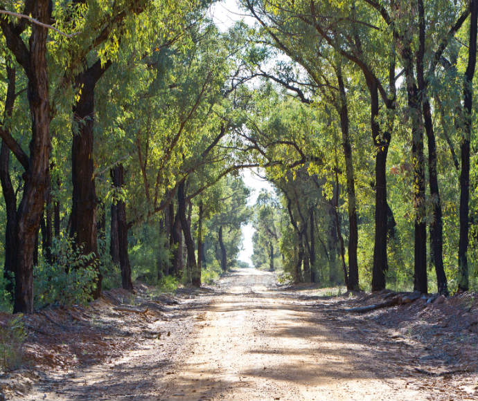
The 153 hectare burn will be carried out 10km north of Coonabarabran, west of the Newell Highway between Oxley Highway and Narawa Road.
The low-intensity burn will reduce fuel loads and help protect private properties from potential wildfire.
Smoke may be visible for several days.
NPWS hazard reduction program for 2020 is focussed on essential burns in areas close to neighbours and important assets and to protect significant areas of habitat to ensure ongoing recovery of wildlife that was impacted by the summer bushfires.
Undertaking burns when conditions are right to ensure they are safe and effective is an important part of managing the potential risk of bushfire to communities and the environment before next summer.
All burns across NSW will continue to be coordinated with the NSW Rural Fire Service (RFS) to ensure the impact on the community, including from smoke, are assessed at a regional level.
Details on specific burns will be made available in advance on the Rural Fire Service website, ‘Fires Near Me’ app, and on NPWS Alerts website.
All hazard reduction burns over 50 hectares will be assessed by the NSW RFS in conjunction with NSW Health as required to ensure smoke impacts are minimised.
For health information relating to smoke from bush fires and hazard reduction burning, visit NSW Health or the Asthma Foundation.
For up to date information on these, and other, planned hazard reduction activities, visit the Rural Fire Service.


