This strong high pressure system will continue to dominate the weather across the south-east, bringing plenty of fog and frost in the mornings. And then, for some, becoming a mild and sunny day. It will certainly be a lovely weekend to get out and about for many in the south-east. Further east, though, this low pressure system in the Tasman is whipping up some large waves, bringing the risk of damaging surf to south-east Queensland and northern and New South Wales coastlines. And out west, the passage of this cold front will continue to bring some wet weather to southern parts of Western Australia.
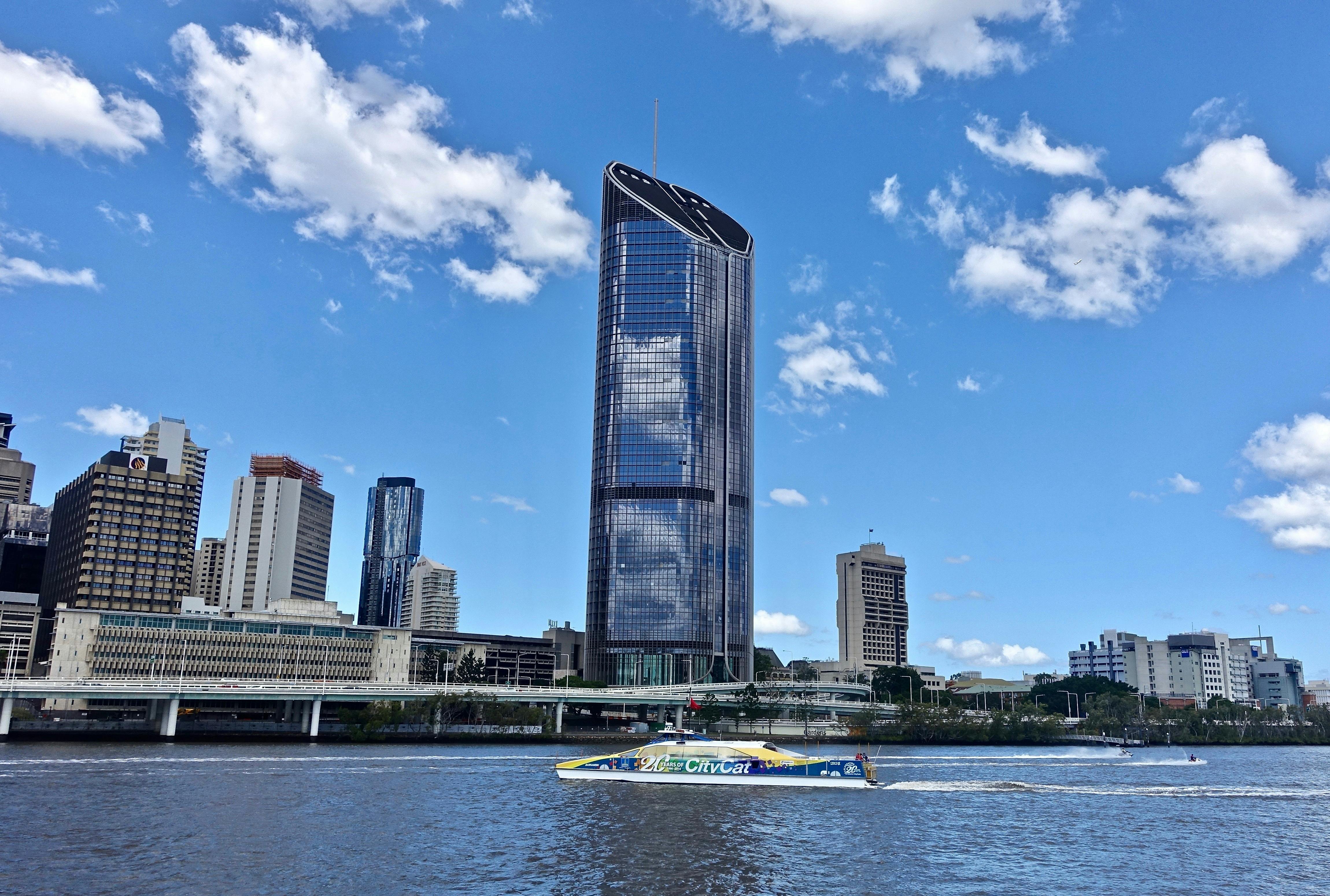
Let’s now take a look state by state, and we’ll start in Queensland, where this low pressure system is driving a lot of the weather in the south-east, bringing large waves towards the coast with the risk of some damaging surf. We’ll also continue to see some shower activity and some gustier conditions in this region. Further north, we’ll just see some more isolated shower activity up the coast. And inland, a dry and mostly sunny day. For Brisbane tomorrow 23 °C with an isolated shower possible.
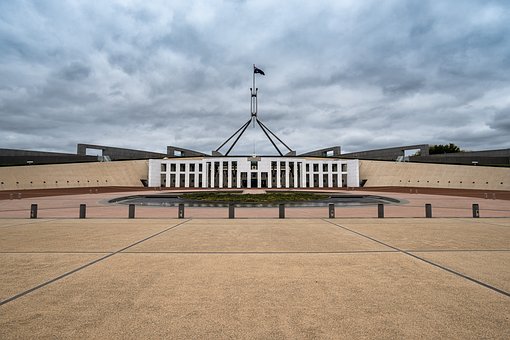
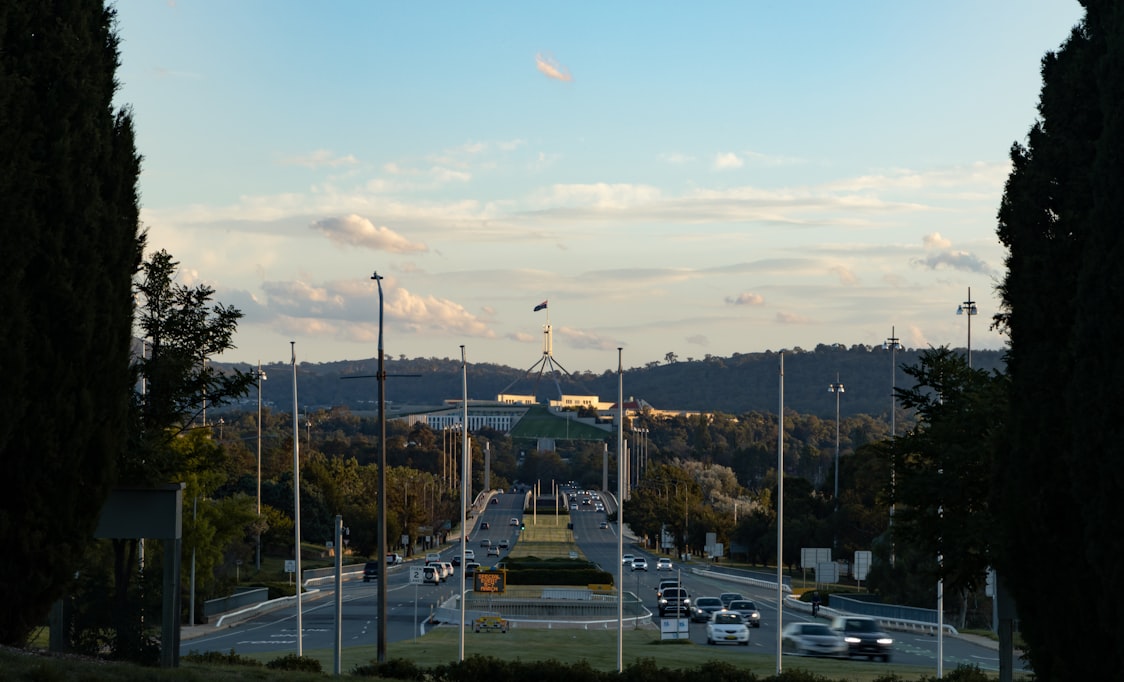
For New South Wales, it will be dry and settled through inland parts once again, following a morning with plenty more fog and frost on its way. Along the coast, we’ll see some isolated shower activity, tending scattered as we head further north. Now, right up here through our northernmost areas, we once again have those large waves coming towards the coast, bringing the risk of some damaging surf. For Sydney tomorrow, 19 °C with an isolated shower possible near the coast and for Canberra, a freezing start followed by a sunny day, with a top of 16 °C.
Into Victoria, where it will be mostly settled, plenty of fog on its way. Now, that will clear out for some, but it will remain cloudy for parts of the north. Temperatures in eastern Victoria are well above average, particularly about our alpine parts, where we could even see some July temperature records broken tomorrow. And for Melbourne, 15 °C with a mostly sunny day.
In Tasmania, it will be mostly dry apart from some showers in the south and south-west. For Hobart, we’ll have some mid to high level clouds streaming through. A top of 15 °C, and Launceston will also see 15 °C tomorrow.
It will be dry and sunny through South Australia tomorrow following a morning with plenty of fog and frost once again. Adelaide will have a lovely mild day with a top of 18 °C.
Western Australia is seeing the bulk of the wet weather tomorrow, with the passage of this cold front from early. Now, we see much of this rainfall around the central west that is going to slowly move eastwards with this system, and as the system weakens, we’ll see less of that rainfall further inland. For Perth tomorrow, some morning showers with the passage of that front, then a top of 18 °C. Up north, it will be another dry day.
Darwin will finally drop down to 18 °C tomorrow morning, then a top of 31 °C. Very chilly down south tomorrow. Two degrees at Alice Springs, followed by a sunny afternoon with 20 °C.
Heading into Sunday now, where the weather pattern is quite similar. This low pressure system continues to bring a risk of some damaging surf to southern Queensland and northern New South Wales coasts. For Brisbane on Sunday, 23 °C, with an isolated shower possible. For Sydney, 19 °C and cloudy. Now, once again, it will be settled through the south-east of the country. Canberra, sunny and 16 °C. Melbourne, mostly sunny with 17 °C. For Hobart, a partly cloudy day with 15 °C and for Adelaide, another mostly sunny day with 18 °C. Out west, Perth could see a few more showers with 18 °C and up north, dry and sunny with 31 °C for Darwin.
If you’d like some