Tsunamis are recorded in Australia about once every 2 years. The last tsunami to affect Australia was caused by a major volcanic eruption in Tonga on 15 January 2022, which led to marine warnings for the eastern states, and land warnings for Norfolk Island and Lord Howe Island.
Most tsunamis in Australia are small, but they can still be dangerous to swimmers and mariners due to strong ocean currents and powerful waves. However, a larger and more powerful tsunami, while improbable, remains a real possibility.
Since 2008, the Bureau of Meteorology, in partnership with Geoscience Australia, has operated the Joint Australian Tsunami Warning Centre (JATWC). The role of the JATWC is to detect, monitor, verify and warn of any tsunami threats to the coastline of Australia and its offshore territories on a 24/7 ongoing basis. Together with other agencies and emergency services, we form an effective and responsive Australian Tsunami Warning System (ATWS).
The JATWC spent Wednesday last week simulating a full-scale tsunami event in the South Pacific Ocean as part of PacWave26. Led by the bureau, this national exercise tested Australia’s tsunami warning and response chain, from preparing, issuing and responding to tsunami warnings, to inter-agency coordination and communication arrangements.
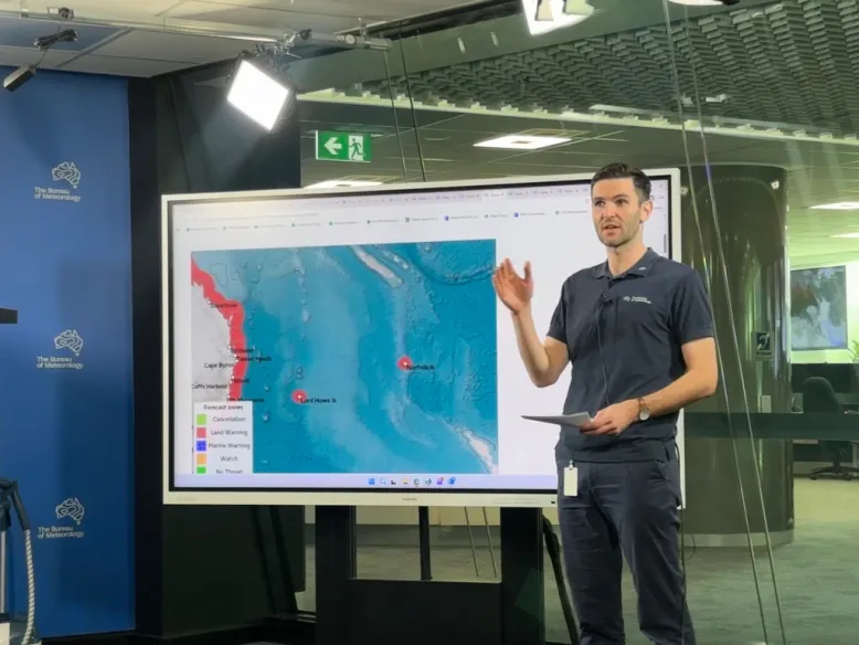
Senior Meteorologist David Crock producing a mock tsunami update video
The bureau’s PacWave26 Exercise Coordinator Shenagh Gamble said regular tests are critical for an effective ATWS because tsunamis are so infrequent.
“Simulated exercises are run annually to ensure we can rapidly swing into action if an actual tsunami threatens to impact our coasts,” she said.
“We value the opportunity to work with our partners in this space. Every second counts when responding to a tsunami – each exercise provides a learning opportunity to strengthen our systems and inter-agency response across the ATWS.”
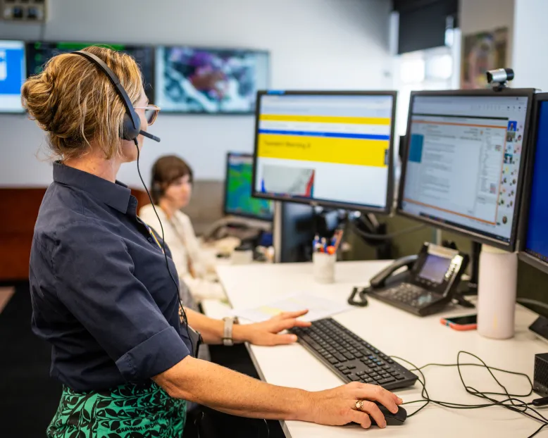
PacWave26 Exercise Coordinator Shenagh Gamble leading the event debrief to discuss successes, challenges and opportunities for improvement
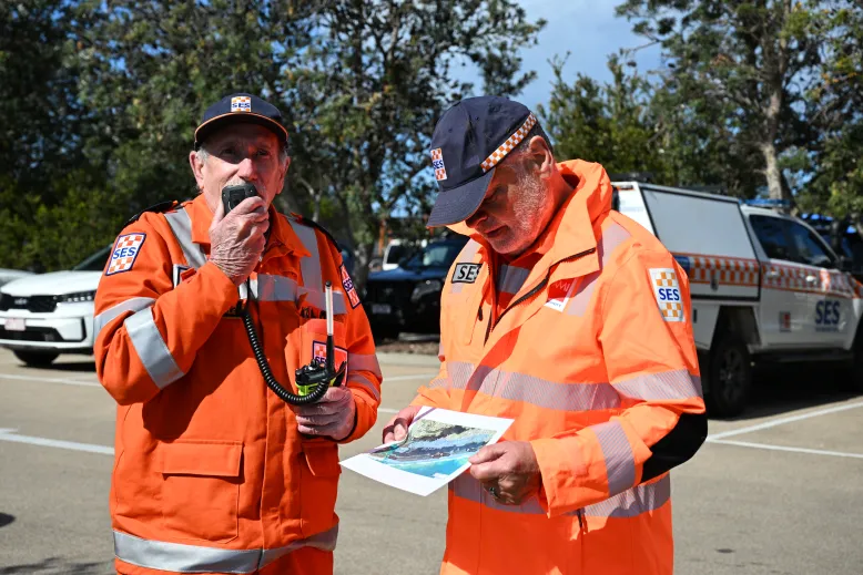
As part of the PacWave26 exercise, there was a Victorian community simulated evacuation at Lakes Entrance, with Victoria State Emergency Service (VICSES) staff, volunteers, partner agencies and community participants involved.
VICSES Chief Officer Operations Alistair Drayton said exercises like this give us an opportunity to test our plans and make sure our volunteers and partner agencies are ready to respond.
“Today is about putting those arrangements into practice in a controlled environment, working alongside the community and identifying anything we can improve before we are faced with a real emergency,” he said.
The bureau’s Acting General Manager, Decision Support Services, Michael Logan said being well prepared for a tsunami threat can save lives.
“The likelihood of a significant tsunami event is not high, but they are still an ever-present danger, especially given our coastal exposure,” he said.
“Our world-leading tsunami warning centre draws on detection systems in the Indian and Pacific oceans, and a team of dedicated experts who issue timely life-saving warnings to our coastal communities.”
The JATWC plays a key international role in the Indian Ocean Tsunami Warning and Mitigation System (IOTWMS). As one of 3 designated Tsunami Service Providers, we issue threat information to 27 national tsunami warning centres in the Indian Ocean. We also support the Pacific Tsunami Warning and Mitigation System (PTWS), providing seismic and sea-level observation networks in the South West Pacific.
Through joint international exercises, we contribute to the continuous improvement of detection and warning systems across the Indian and Pacific Oceans.