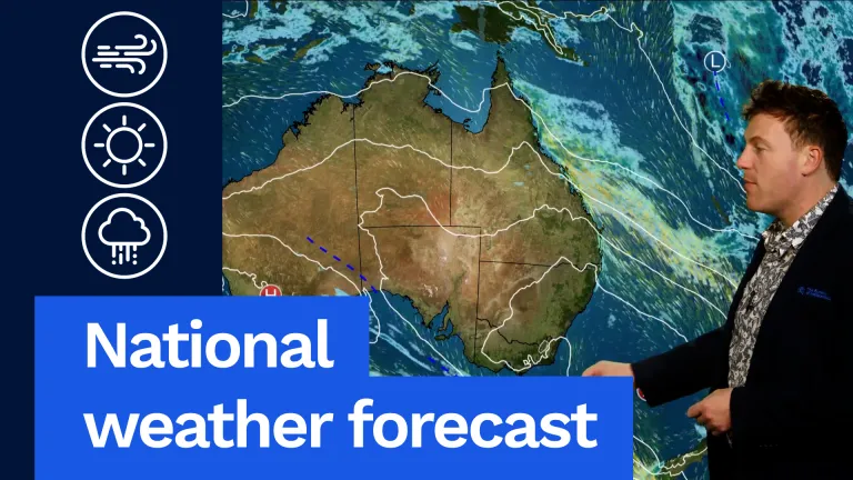
The Bureau of Meteorology has issued a Tropical Cyclone Watch for a system off North Queensland, with strong winds and heavy rain expected from early next week in coastal areas north of Cairns.
A tropical low is located in the Coral Sea, approximately 405km north-east of Cooktown, and may intensify to tropical cyclone strength early next week.
If a tropical cyclone develops, it will be named Tiffany and is expected to initially be category one.
The system is currently tracking southeast in the northern Coral Sea and is forecast to cross the Cape York Peninsula on Monday or Tuesday, before moving into the Gulf of Carpentaria.
Senior Meteorologist Laura Boekel said the system was being closely monitored by the Bureau.
“We are expecting heavy rainfall and damaging winds as a result of this system, so regardless of whether it is a tropical low or a tropical cyclone, there is still an increased risk of flooding and some localised damage in the region,’ Ms Boekel said.
“Tropical systems can intensify very quickly, and shift direction, so we will be updating our warnings and advice to the community and our emergency services colleagues as this system progresses.”
Remember to know your weather, know your risk, and keep up to date with the latest forecasts and warnings using the BOM Weather app or the Bureau’s website.


