With severe thunderstorms, and heavy rain forecast this long weekend, the NSW State Emergency Service (SES) is calling on communities in Greater Sydney, the Illawarra, and across the Riverina, North Coast and southern NSW to prepare and stay informed.
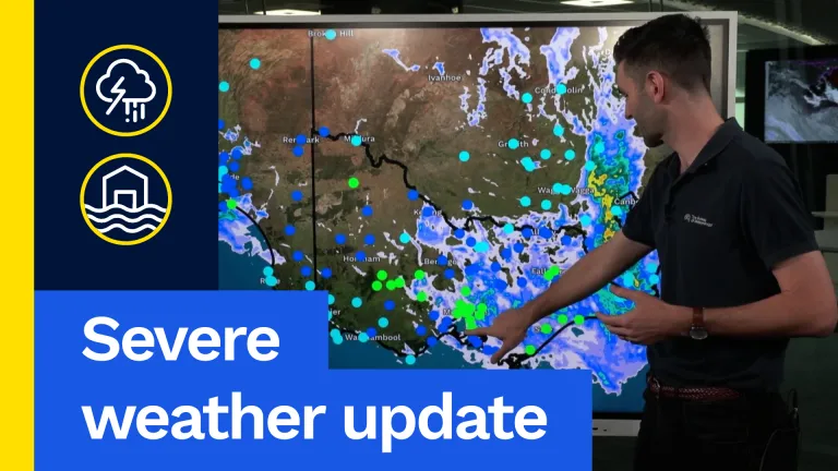
A cold front is expected to bring widespread thunderstorms to the Central West, South Coast, Illawarra and Sydney from today through to Sunday, before moving northeast early next week.
Thunderstorms could bring flash flooding, damaging winds, and large hail, with heavy rainfall of up to 100mm possible in some areas. Minor flooding is also forecast across state’s river systems.
The NSW SES has teams and assets on standby to respond to calls for assistance, but the community is urged to stay ahead of the storm and steer clear of floodwaters.
NSW SES Acting Assistant Commissioner Brigid Rice said personnel and resources had been strategically positioned ahead of the weather to ensure a rapid response if communities are impacted.
“We are closely monitoring the forecast alongside our partner agencies and will continue to adjust our operations as conditions develop,” Acting Assistant Commissioner Rice said.
“Flash flooding remains our biggest concern during this forecast weather. Conditions can change very quickly, and roads that appear safe can become dangerous within minutes.
“Never drive, ride or walk through floodwater. Floodwater often hides damage, debris and other hazards beneath the surface.”
Acting Assistant Commissioner Rice said now is the time for people to prepare their homes, families and businesses.
“By taking a few simple steps today and staying informed throughout the weekend, people can reduce their risk and be ready to act if conditions worsen,” she said.
“I encourage people to