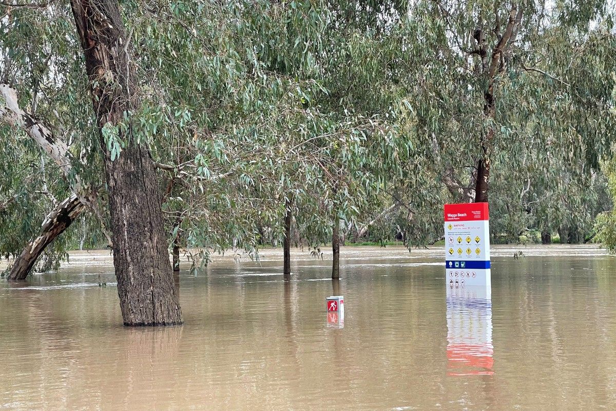
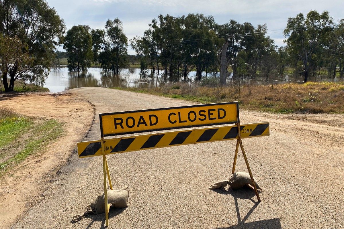
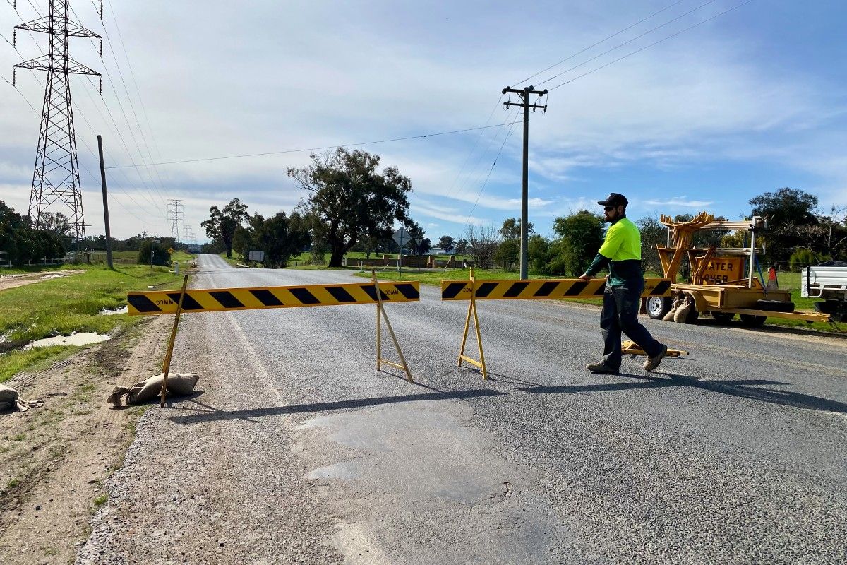
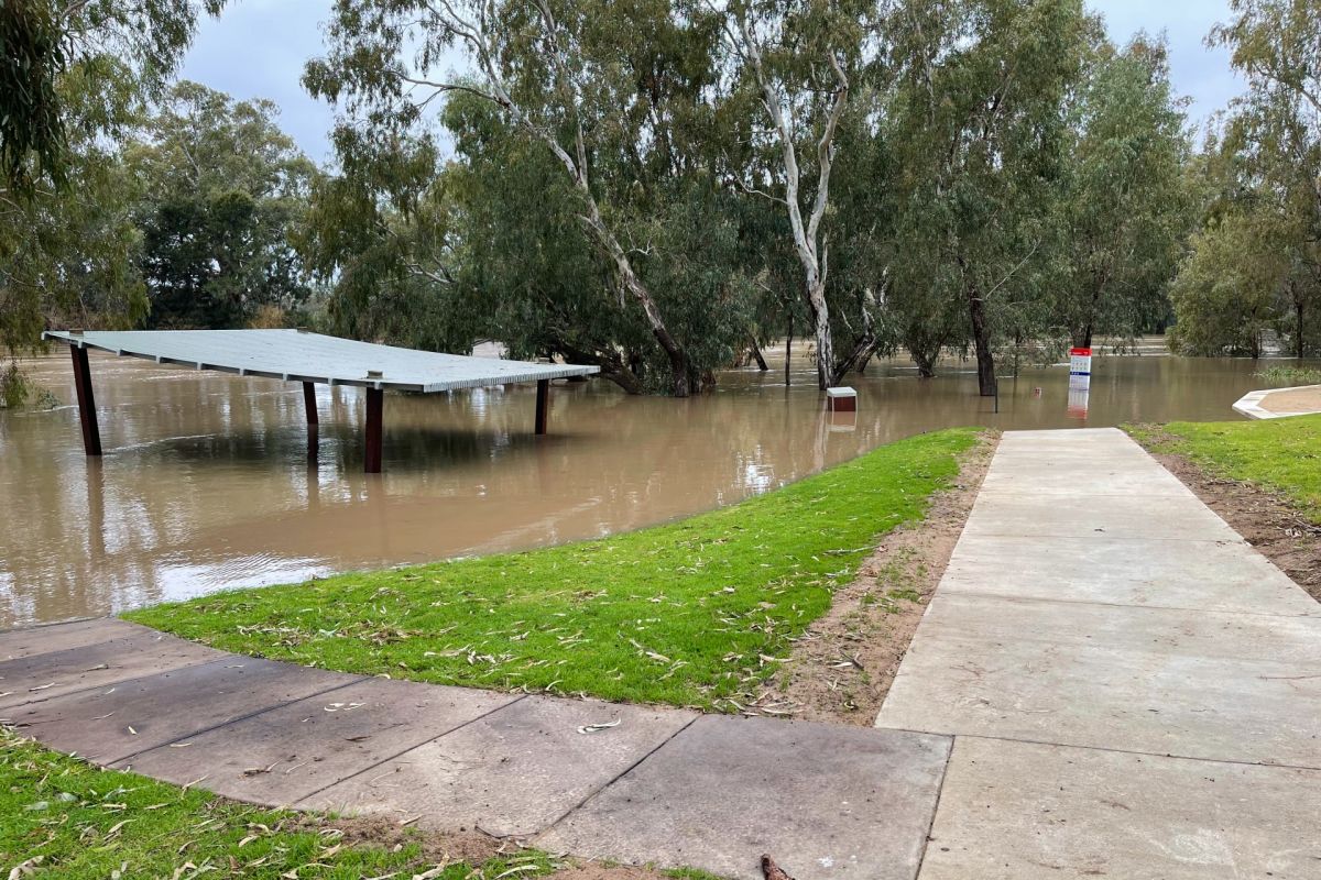
Council crews worked systematically throughout this week’s flood, constantly monitoring river and creek levels, and closing roads where necessary to ensure the community’s safety.
Working in close collaboration with the NSW State Emergency Service, Council crews operated from a meticulously organised spreadsheet created from years of experience and local flood event data, which details exactly which flood gates and roads need to close at certain river heights.
Director Infrastructure Services Warren Faulkner and Supervisor Underground Operations Ron Cheney assessed the changing situation each day to ensure everything happened at the right time.
“We were keeping an eye on what was happening upstream at Gundagai, the rate of rise of the river in Wagga, as well as the weather to trigger specific responses,” Mr Faulkner said.
“We’re constantly monitoring and checking that water isn’t anywhere unusual. We erect warning signs and reduce speed limits as necessary to provide a safe environment for the public, and we try to keep the roads open for as long as possible.”
Supervisor Underground Operations Ron Cheney said he was watching the river and creek levels in real time so he could let his team know when to act.
“We’ve been through quite a few floods now, so we know exactly what we need to shut and when, depending on the river levels,” Mr Cheney said.
“Thankfully we weren’t dealing with heavy rain at the same time, which would have meant carrying out a whole other set of actions as well.
“Every time we have a flood, we capture a fresh set of data, and compile that with our on-the-ground experiences to ensure we can keep perfecting our response.”
As the water levels gradually recede, Council assesses which roads can be reopened.
“Once the water goes down, we won’t open the roads up straight away, because they’re still not safe,” Mr Cheney said.
“We need to remove debris and ensure the pavement is stable. Once we’re satisfied they’re sound, we’ll open them up again to traffic.”
Council teams also regularly inspect levee flood gates to ensure they are shut, as well as the levees themselves – both as the river breaches its banks and as the water subsides.
“There’s actually more potential for damage to the levees as the water goes down, so we keep a close eye on them and the surrounding surfaces to ensure they’re secure,” Mr Cheney said.
“We’re always monitoring the situation to ensure the safety of our community,” Mr Faulkner said.
“We really appreciate everyone’s patience while we reopen the roads and ask that people continue to stay out of flood water, and follow the guidance of the NSW State Emergency Service.”
For NSW SES updates, visit ses.nsw.gov.au/regions/murrumbidgee
For flood-related road closure updates, visit wagga.nsw.gov.au/flooding


