Australia is an ancient land, with an ever-changing landscape. To help track and understand these changes, our Digital Earth Australia team has developed DEA Land Cover.
DEA Land Cover is a free, publicly available data set of annual maps of Australian land cover since 1988. The data provides insights into the current state of our environment, how it has changed over time, and how various parts of the environment inter-relate. These maps can show impact and recovery from bushfires, natural fluctuations in vegetation cover, as well as more permanent changes like urban development.
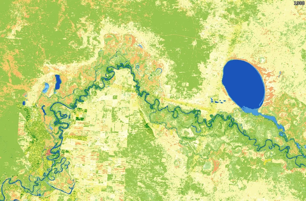
The Murray River and its surrounds vary over three decades at the intersection of New South Wales, Victoria and South Australia
DEA Land Cover has been developed to support the work of researchers, land managers, and policy makers. It provides information to inform decisions regarding land-use and environmental management in Australia today and into the future.
This project was made possible due to the ongoing collaboration with several agencies and universities including Aberystwyth University, Plymouth Marine Laboratory, University of New South Wales, The Australian National University, Australian Department of Agriculture, Water and the Environment, CSIRO and Australian Bureau of Statistics.
DEA Land Cover data is available to download and to explore on the interactive DEA Maps platform.


