23 September 2019, New York and Rome – Putting the world’s eyes in the skies to work to improve human lives and combat climate change is now easier thanks to an overhaul of the Food and Agriculture Organization’ innovative geospatial monitoring system.
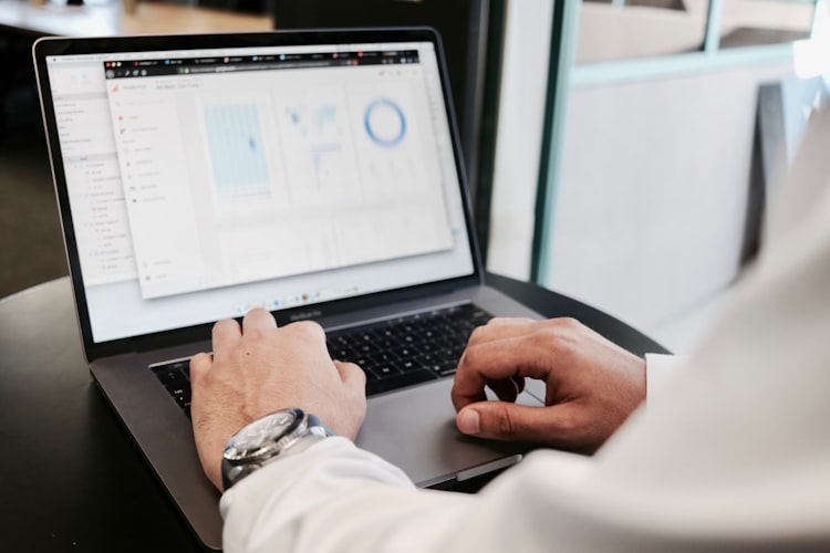
A new version of SEPAL – System for Earth Observation Data Access, Processing and Analysis for Land Monitoring – has been developed that enables advanced forest monitoring from mobile phones. It also provides access to high-resolution data updated daily by a fleet of more than 190 satellites run by Planet, an integrated aerospace and data analytics company.
The new SEPAL 2.1 platform was launched in New York at the Nature for Climate Hub, an event coinciding with the United Nations Secretary General’s Climate Action Summit.
The easy-to-use platform offers anyone, anywhere unparalleled access to satellite data and supercomputing power. It paves the way for increasing accuracy and transparency of countries’ reporting on national plans to mitigate the effects of climate change and fine-tune land-use policies and their implementation, as well as enhancing collective tenure rights where appropriate.
The SEPAL project is funded by Norway’s International Climate and Forest Initiative (NICFI).
Along with access via mobile phones, the new SEPAL platform also provides access to Planet’s daily monitoring data for eight forest countries – Chile, Costa Rica, Colombia, the Democratic Republic of the Congo, Ghana, Indonesia, Mexico, and Mozambique. These countries are front-runners to unlock results-based finance for carbon emission reductions through the World Bank’s Forest Carbon Partnership Facility Carbon Fund and BioCarbon Fund Initiative for Sustainable Forest Landscapes.
“Having access to more accurate and consistent information on forest area and forest cover density will be a game changer. These innovative resources fill a critical need for these eight pilot countries working to meet the reporting requirements to access results-based payments for reducing emissions from deforestation and forest degradation (REDD+). What’s more, better access to precise and timely data will support countries in combating deforestation to help meet national and international climate targets,” said Andres Espejo, Methodology Specialist at the World Bank.
“One of the most compelling cases for Planet’s capabilities is monitoring and measuring forests. By working with leaders in the international community, we strive to find and support ways for our technology to help Reduce Emissions from Deforestation and Forest Degradation,” said Tara O’Shea, Program Lead for Forests and Land Use at Planet.
“As of today, the FAO Forestry Department supports over 70 countries as they develop forest monitoring capacities to support Sustainable Forest Management and Measurement, Reporting, and Verification (MRV) systems in order to receive results-based payments. These first eight countries will serve as a test case for how advanced earth observation technologies can help facilitate new solutions in REDD+ and beyond,” said Julian Fox, FAO’s team leader for National Forest Monitoring.
Planet is imaging all of Earth’s landmass every day in four spectral bands, at a spatial resolution of 3.7 meters per pixel, in a bid to offer “insights at the speed of change.” This means that those engaged in forest management are potentially able to gain access to an unprecedented data monitoring rate to track forest cover and changes in land use, and address degradation on a continual basis.
“The adoption and use of SEPAL for forest monitoring has exceeded all expectations and its impact on country reporting to the United Nations Framework Convention on Climate Change (UNFCCC) is already a significant improvement compared to previous years,” said Tiina Vahanen, Chief, Forestry Policy and Resources Division in FAO’s Forestry Department.
FAO in the cloud
As summarized in a new FAO publication launched today, 39 countries have submitted a Forest Reference (Emission) Level to the UNFCCC, together covering more than 30% of global forest cover and around 70% of global forest loss (FAO 2019). Eight countries have reported REDD+ results against this submitted benchmark, totaling more than 8 billion tonnes of CO2 in emission reductions. To get a sense of scale, this is more than the annual fossil fuel emissions of the United States of America and India combined. A particularly striking development is the sharp increase in transparency of these reports over the past five years.
Progress in forest measurement has also accelerated, driven by the increasing availability of higher-resolution imagery and advanced algorithms in open source platforms such as SEPAL. “SEPAL allows Nigeria to participate in REDD+, allowing us to access and process data and images using computing power of the cloud, allowing us to more accurately assess forest changes,” said Moses Ama, REDD+ coordinator of Nigeria.
The new SEPAL platform will also bolster FAO’s own Global Forest Resources Assessments.
Harnessing the power of cloud computing, SEPAL enables access and processing of critical historical satellite data series as well as newer data from Landsat and Europe’s Copernicus programme, along with modern geospatial data infrastructures such as Google Earth Engine under the FAO-Google partnership. The platform has now reached more than 3 000 active users from 160 countries, allowing them to produce robust results spanning a range of applications from mosaic-style renderings of land cover, forest disturbances, fires and pest infestation to dynamic flood maps and initiatives geared to peatland conservation and restoration.
The new release also includes tools for near-real time alert systems and degradation assessments, contributed by the Government of Ecuador and funded by Germany’s KfW development bank. It complements other OpenForis open-source technologies that FAO has developed for forest monitoring and reporting.


